
The site has just been updated: reload the page to get everything working again.
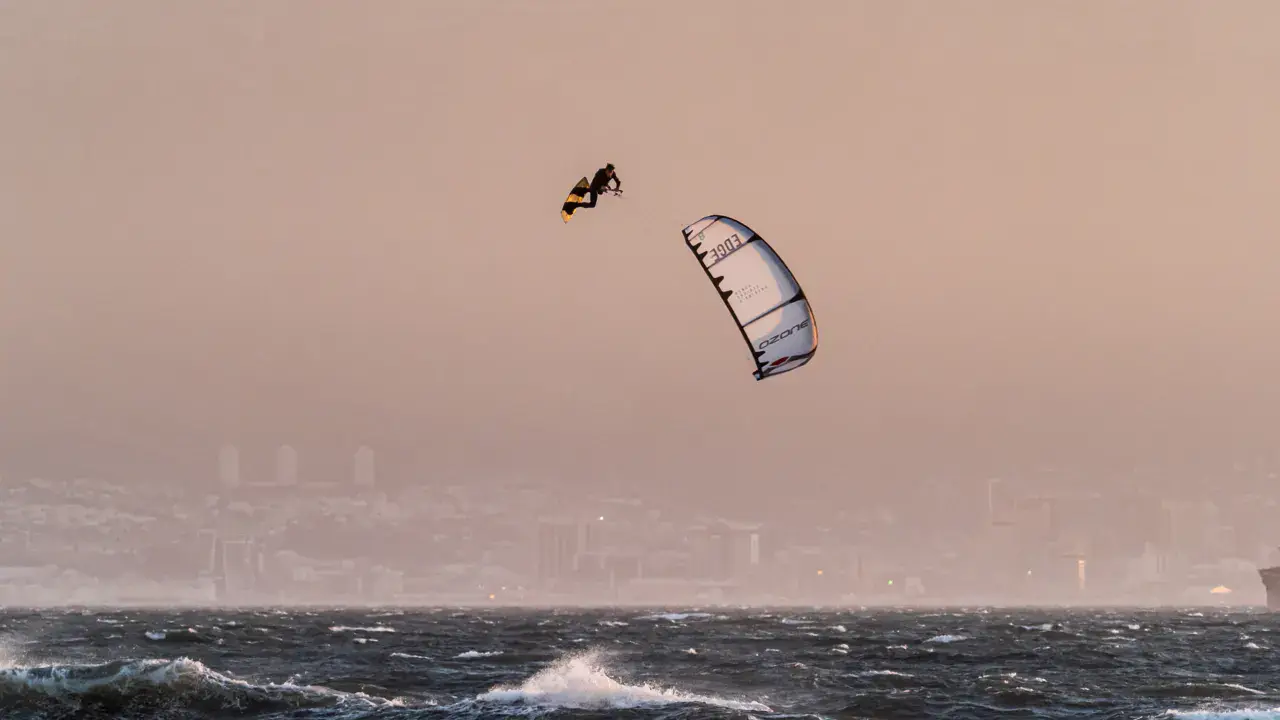
Marysville kitesurf and wingfoil spot
United States · Michigan
Overview
Marysville is a kitesurf spot located on the St. Clair River, Michigan, just south of Port Huron. The St. Clair River connects Lake Huron to Lake St. Clair and features a constant, powerful current. This river spot offers unique conditions with flat water but sustained current that requires experience. The spot suits advanced riders able to manage the current and marine traffic.
Spot forecast for Marysville
Sunrise 07:49 · Sunset 18:39
Forecasts provided by Open-Meteo
Marysville: when to go?
Rideable days and hours computed for a minimum wind of 7 knots · log in to set your own (foil, twin-tip…)
303h
in March · 29 rideable days
The season runs from March to June, peaking in March: 28 rideable days a month and 303 hours of usable wind, at 17 °C. The low point is August, at 18.5 days.
Rideable days per month
Wind strength when it is rideable
When the spot works, wind sits mostly between 7 and 12 knots — 86% of rideable hours. Big-kite territory. The coldest month is January, at -1 °C. The wettest month is June, with 184 mm.
Monthly averages: Marysville
| Month | Rideable days | Usable wind | Temperature | Rain |
|---|---|---|---|---|
| January | 25.5 | 239 h | -1 °C | 69 mm |
| February | 23.0 | 200 h | 3 °C | 25 mm |
| March | 29.0 | 303 h | 9 °C | 47 mm |
| April | 28.5 | 327 h | 14 °C | 89 mm |
| May | 28.5 | 285 h | 20 °C | 63 mm |
| June | 27.0 | 252 h | 26 °C | 184 mm |
| July | 21.0 | 164 h | 28 °C | 136 mm |
| August | 18.5 | 168 h | 26 °C | 13 mm |
| September | 19.5 | 148 h | 24 °C | 14 mm |
| October | 25.0 | 200 h | 18 °C | 62 mm |
| November | 22.5 | 208 h | 9 °C | 34 mm |
| December | 22.5 | 196 h | 1 °C | 68 mm |
Photo gallery of Marysville
Ridden here? One photo or video, and the spot comes alive for everyone discovering it.
Technical details of Marysville spot
The spot works with winds from N, NNE, NE, ENE, E, ESE, SE, SSE, S, SSW, SW, WSW, W, WNW, NW, NNW.
Spot opening date · Required level
- Spot opening date
- Open all year round
- Required level
- Advanced
On the water
River water body with a constant, powerful current of approximately 5 to 7 km/h flowing southward. Water is relatively flat but the current creates demanding conditions. Riding upriver requires significant power. Cold water coming directly from Lake Huron — full wetsuit required except in midsummer. River width approximately 400 to 800 meters.
Hazards
Very strong St. Clair River current that can quickly carry riders downstream. Intense commercial shipping — large freighters in a narrow channel, mandatory passage. International border with Canada — be careful not to drift across unintentionally. Cold water with hypothermia risk. Docks, pilings, and structures along the banks. If wind dies, the current makes returning very difficult. Spot reserved for experienced riders.
Something out of date? Suggest an edit
Live
SARNIA CLIMATE16.2 kmsource Environment Canada
Readings reserved for Premium members
Live readings from SARNIA CLIMATE weather station are reserved for Premium members.
- Real-time readings
- Last 48 hours history
- Custom alerts
- Extended weather forecasts
Already a Premium member? Log in
Additional stations
-
Sarnia (Chris Hadfield)16.4 km
Readings reserved for Premium members
source Environment Canada
-
St Clair County International Airport5.5 km
Readings reserved for Premium members
source noaa
All the details of your session on windtracker.app
Webcams near Marysville
Webcams provided by Windy.com
Nearby spots
All spots: MichiganComments 0
No comments yet.