
The site has just been updated: reload the page to get everything working again.
Lake Nitinaht kitesurf, wingfoil and windsurf spot
Canada · British Columbia
Overview
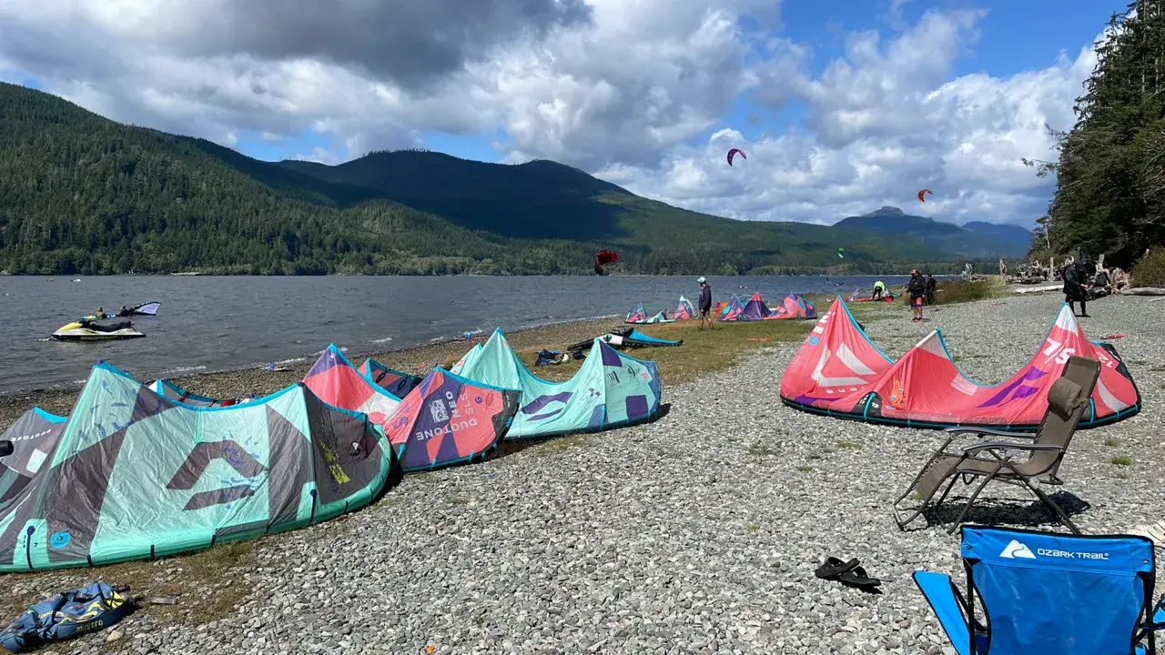
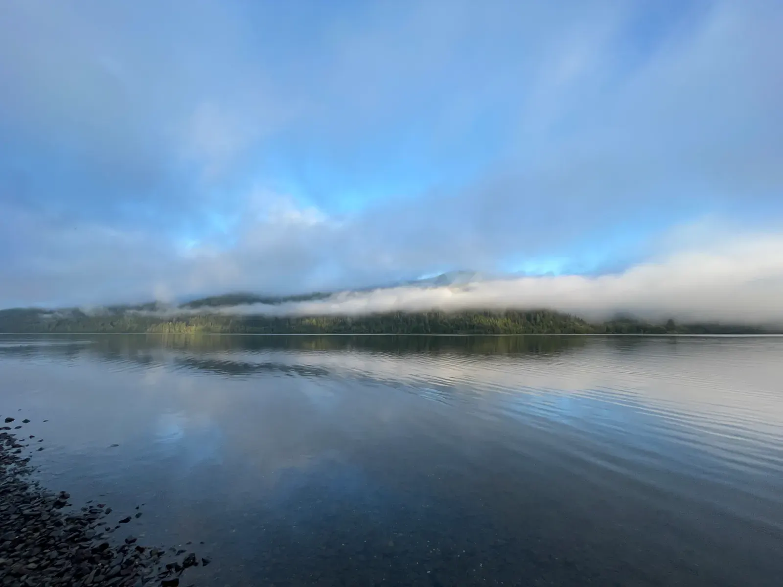
Lake Nitinaht (also spelled Nitinat) is a legendary kitesurfing spot on the west coast of Vancouver Island, British Columbia. Despite its name, it's not a lake but a brackish fjord connected to the Pacific Ocean via the Nitinaht Narrows. 23 km long and 1.2 km wide, it's nestled in the heart of the Pacific Rim temperate rainforest.
Access is an adventure in itself: 2.5 hours from Victoria or Nanaimo, with the last hour on gravel logging roads shared with logging trucks. There's no cell service. This is a remote, wild spot offering a truly unique experience — exceptionally consistent thermal wind in a spectacular old-growth forest setting.
Spot forecast for Lake Nitinaht
Sunrise 07:47 · Sunset 18:19
Next tides
- Low tide · 1.3 m
- High tide · 2.9 m
- Low tide · 2 m
- High tide · 2.9 m
Forecasts provided by Open-Meteo
Lake Nitinaht: when to go?
Rideable days and hours computed for a minimum wind of 7 knots · log in to set your own (foil, twin-tip…)
175h
in July · 26.5 rideable days
The season runs from April to September, peaking in July: 21 rideable days a month and 175 hours of usable wind, at 21 °C. The low point is January, at 2 days.
Rideable days per month
Wind strength when it is rideable
When the spot works, wind sits mostly between 7 and 12 knots — 99% of rideable hours. Big-kite territory. The coldest month is January, at 7 °C. The wettest month is December, with 364 mm.
Monthly averages: Lake Nitinaht
| Month | Rideable days | Usable wind | Temperature | Rain |
|---|---|---|---|---|
| January | 2.0 | 10 h | 7 °C | 181 mm |
| February | 3.0 | 18 h | 8 °C | 186 mm |
| March | 5.0 | 28 h | 11 °C | 274 mm |
| April | 15.5 | 90 h | 15 °C | 68 mm |
| May | 21.0 | 146 h | 17 °C | 44 mm |
| June | 22.5 | 127 h | 20 °C | 31 mm |
| July | 26.5 | 175 h | 25 °C | 6 mm |
| August | 21.0 | 119 h | 24 °C | 55 mm |
| September | 17.0 | 81 h | 22 °C | 51 mm |
| October | 3.5 | 30 h | 15 °C | 288 mm |
| November | 2.5 | 17 h | 10 °C | 277 mm |
| December | 6.0 | 33 h | 8 °C | 364 mm |
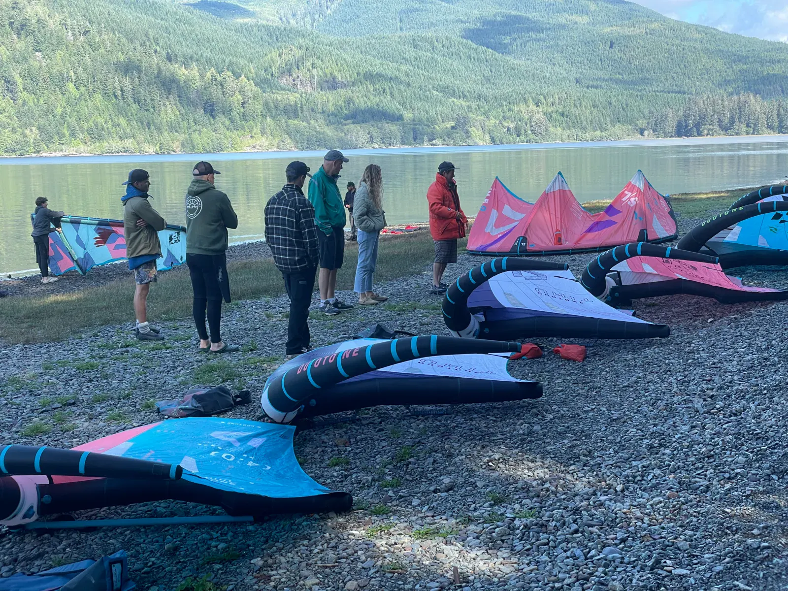
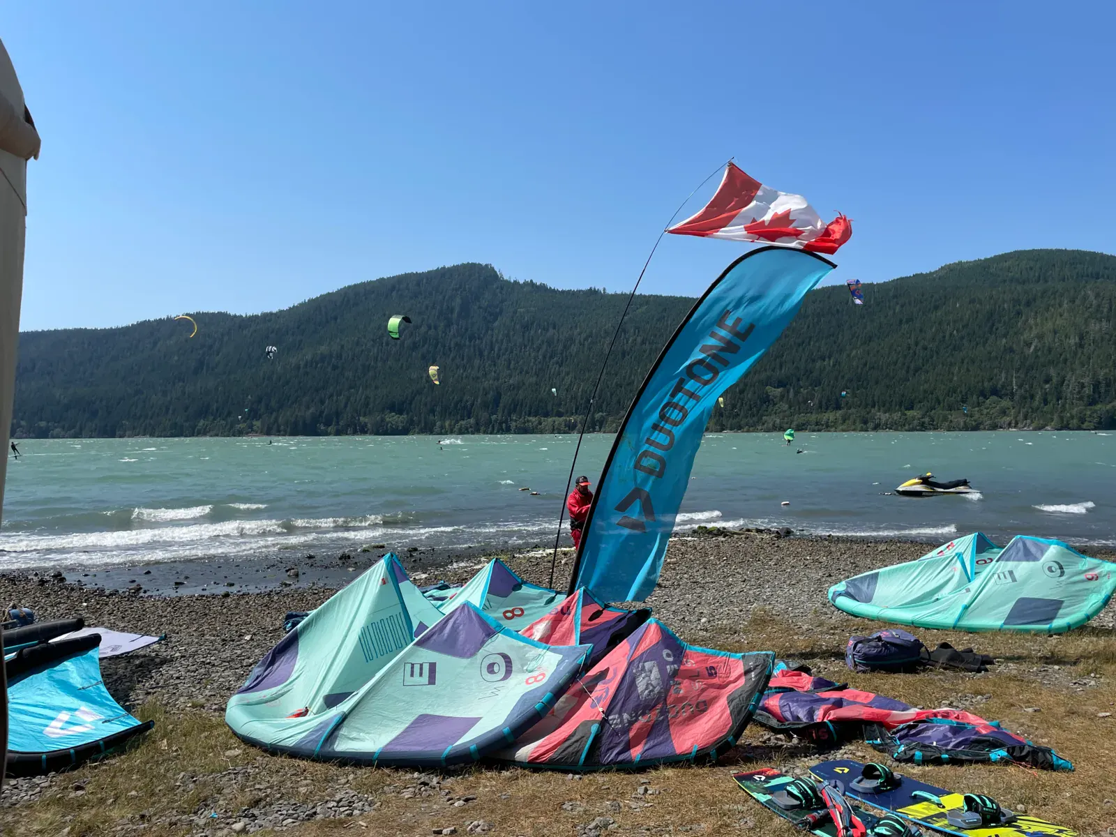
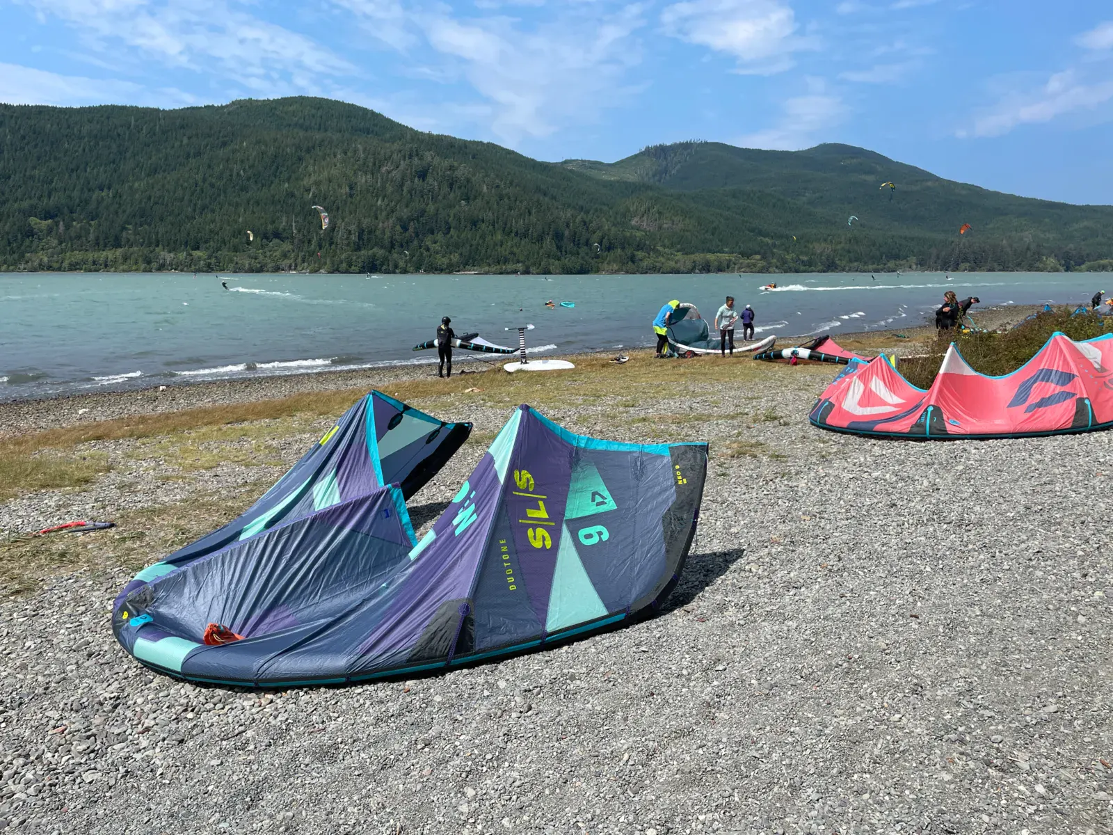
Photo gallery of Lake Nitinaht
Technical details of Lake Nitinaht spot
The spot works with winds from SW, WSW, W, WNW, NW.
Local association recommendations
Elevation Kite and Wing Center — kite and wingfoil school, Duotone equipment rental and sales, jet-ski downwinders. Strong Kiteboarding — IKO certified school, kite and wingfoil lessons. Both schools operate directly from the lakeside campground.
Spot functioning
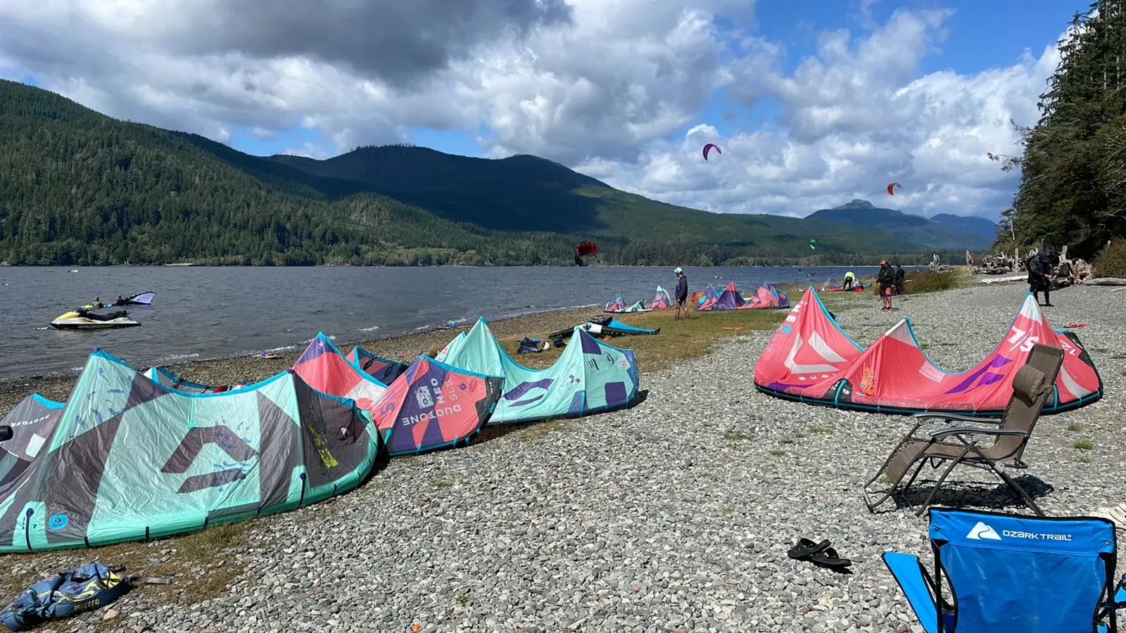
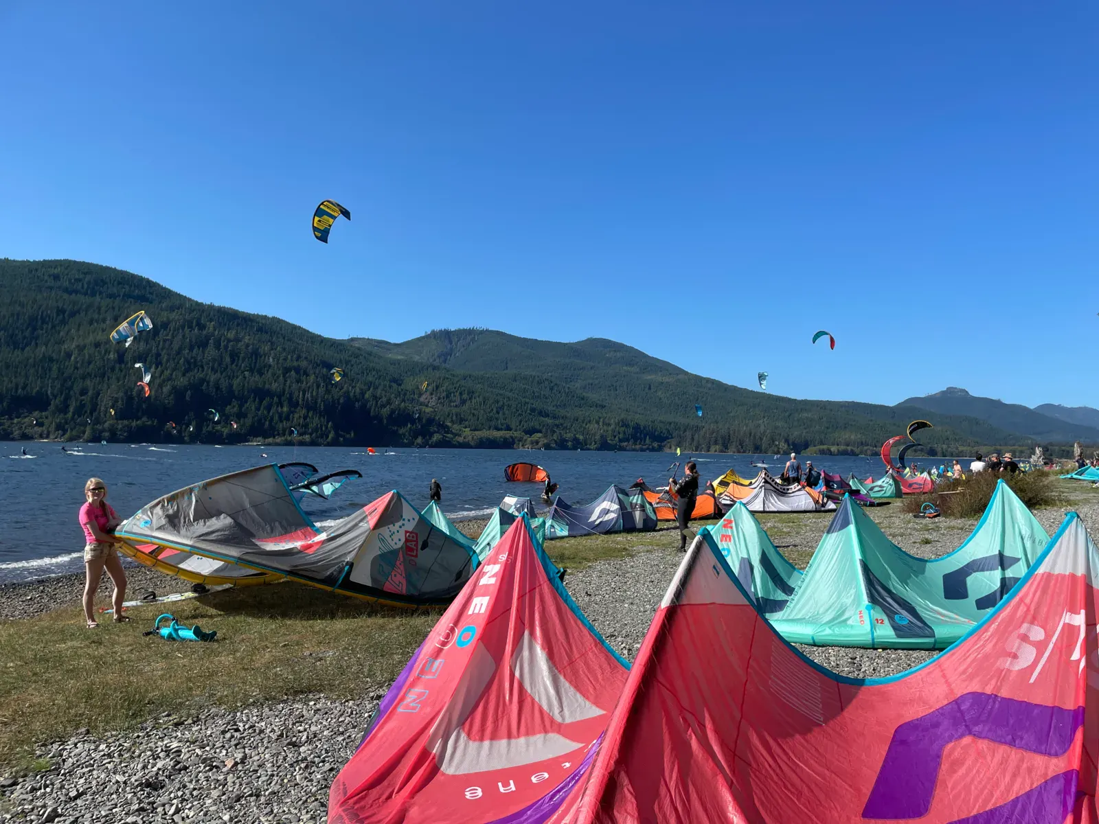
The thermal wind follows a predictable daily cycle: onset around 10-10:30am, peak strength in early afternoon, gradual shutdown at sunset. The only launch area is the beach in front of the campground — long and wide enough for everyone. The fjord connects to the Pacific via the Narrows, creating a minor tide. Tidal influence is minimal on riding conditions, but Narrows currents are extremely dangerous.
Spot opening date · Required level
- Spot opening date
- Open all year round
The spot is open year-round but kitesurfing season runs May to September. May and June: 15-20 windy days/month. July: up to 30 days. August: about 25 days. September: 15-20 days. October to April is very cold and rainy — not practical. Schools operate June to August.
- Required level
- Intermediate
On the water
Semi-flat to choppy water depending on wind strength — rolling swell on windier days. The bottom is rocky near the beach (booties essential) and the lake is deep offshore. Brackish water (slightly salty) with a pleasant temperature of 18-20°C in summer. All disciplines thrive: freeride, freestyle, foil, strapless riding.
Parking
Parking is at the Nitinaht Lake campground, a short walk to the beach. Camping cost was $35 CAD/night in 2024. Since 2024, six modern cabins with bathrooms are available for rent. Fill up on fuel and supplies before arriving — the nearest small grocery is in Youbou (1 hour drive) and full services are in Lake Cowichan (1.5 hours).
Wind specificities
Exceptionally consistent thermal wind. Cold air from the Pacific coast (Tofino) gets sucked in by the interior heat (Port Alberni) and funnels down the fjord like a vacuum. If the temperature difference between Tofino and Port Alberni exceeds 5°C, wind picks up around 10am and blows until sunset. Strength: 15 to 30 knots depending on the thermal differential. Best months: July (up to 30 consecutive windy days) and August (~25 days). Season runs from May to September.
Hazards
The beach is narrow and covered with rocks and razor-sharp barnacles — booties are absolutely essential. The large cedar trees lining the beach are notorious for grabbing kites: 3-4 kites per year end up in trees. Ask locals for launch advice. The Nitinaht Narrows generate 8-10 knot tidal currents and tidal bores — never approach them. Driftwood possible in the water. No cell service or roadside assistance. Bears present: bear spray recommended. Bring a spare tire and tools for the logging road.
Something out of date? Suggest an edit
Live
Currently, there is no weather station at this spot. If you want to change this, help us fund one: Weather Station Project
All the details of your session on windtracker.app
Webcams near Lake Nitinaht
Webcams provided by Windy.com
Schools, shops and places to stay nearby
See the directory
Nearby spots
All spots: British Columbia- 40 km China Creek / Vancouver IslandColombie-Britannique, Canada
- 47 km Vancouver Island | Port AlberniBritish Columbia, Canada
- 63 km Vancouver Island | Jordan RiverBritish Columbia, Canada
- 65 km Vancouver Island | Rathtrevor BeachColombie-Britannique, Canada
- 65 km vancouver island | columbia beachBritish Columbia, Canada
- 76 km Wickaninnish Beach / Vancouver IslandColombie-Britannique, Canada
Comments 0
No comments yet.