
The site has just been updated: reload the page to get everything working again.
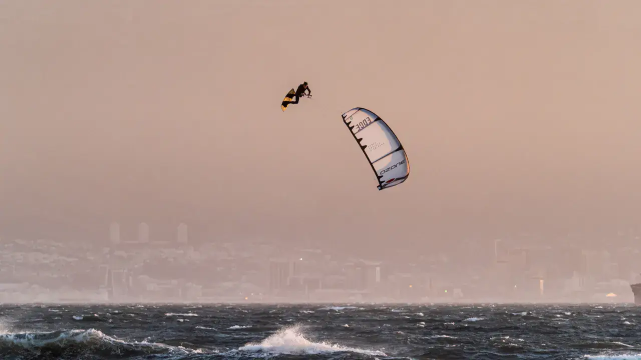
Vancouver Island | Rathtrevor Beach kitesurf, wingfoil and windsurf spot
Canada · Colombie-Britannique
Overview
Rathtrevor Beach is a popular provincial park located near Parksville, on the east coast of Vancouver Island. The spot faces east toward the Georgia Strait. The beach is famous for its immense sand flats at low tide — the water retreats several hundred metres. Family-friendly spot, very busy in summer with camping in the park.
Spot forecast for Vancouver Island | Rathtrevor Beach
Sunrise 07:46 · Sunset 18:17
Next tides
- Low tide · 1.3 m
- High tide · 2.9 m
- Low tide · 2 m
- High tide · 2.9 m
Forecasts provided by Open-Meteo
Vancouver Island | Rathtrevor Beach: when to go?
Rideable days and hours computed for a minimum wind of 7 knots · log in to set your own (foil, twin-tip…)
167h
in July · 23 rideable days
The season runs from April to October, peaking in July: 21 rideable days a month and 167 hours of usable wind, at 20 °C. The low point is February, at 11.5 days.
Rideable days per month
Wind strength when it is rideable
When the spot works, wind sits mostly between 7 and 12 knots — 83% of rideable hours. Big-kite territory. The coldest month is January, at 6 °C. The wettest month is December, with 115 mm.
Monthly averages: Vancouver Island | Rathtrevor Beach
| Month | Rideable days | Usable wind | Temperature | Rain |
|---|---|---|---|---|
| January | 16.0 | 130 h | 6 °C | 89 mm |
| February | 11.5 | 104 h | 6 °C | 52 mm |
| March | 18.0 | 162 h | 10 °C | 82 mm |
| April | 19.0 | 151 h | 14 °C | 28 mm |
| May | 20.0 | 153 h | 18 °C | 71 mm |
| June | 20.5 | 174 h | 21 °C | 10 mm |
| July | 23.0 | 167 h | 26 °C | 11 mm |
| August | 21.5 | 155 h | 24 °C | 46 mm |
| September | 19.5 | 136 h | 21 °C | 50 mm |
| October | 20.0 | 146 h | 13 °C | 76 mm |
| November | 18.5 | 142 h | 9 °C | 103 mm |
| December | 17.0 | 127 h | 8 °C | 115 mm |
Photo gallery of Vancouver Island | Rathtrevor Beach
Ridden here? One photo or video, and the spot comes alive for everyone discovering it.
Technical details of Vancouver Island | Rathtrevor Beach spot
The spot works with winds from N, NNE, NE, ENE, E, ESE, SE, NW.
Spot opening date · Required level
- Spot opening date
- Open all year round
- Required level
- Intermediate
On the water
Flat to slightly choppy water. Very flat sandy bottom. Extremely tide-dependent: at low tide, water is hundreds of metres from the beach. Riding only possible at high tide or mid-rising tide. Moderate fetch from the east.
Hazards
Extreme tidal range — risk of being stranded on sand if tide goes out. Very busy swimming zone in summer (provincial park). Floating logs. Cold water. Provincial park regulations — check authorized zones for kitesurfing.
Something out of date? Suggest an edit
Live
QUALICUM BEACH AIRPORT9.8 kmsource Environment Canada
Readings reserved for Premium members
Live readings from QUALICUM BEACH AIRPORT weather station are reserved for Premium members.
- Real-time readings
- Last 48 hours history
- Custom alerts
- Extended weather forecasts
Already a Premium member? Log in
Additional stations
-
BALLENAS ISLAND8.3 km
Readings reserved for Premium members
source Environment Canada
-
GW0363 Errington CA8.1 km
Readings reserved for Premium members
source madis - NOAA
All the details of your session on windtracker.app
Webcams near Vancouver Island | Rathtrevor Beach
Webcams provided by Windy.com
Nearby spots
All spots: Colombie-Britannique- 9 km vancouver island | columbia beachBritish Columbia, Canada
- 41 km Davis Bay (Beach)British Columbia, Canada
- 42 km Vancouver Island | Port AlberniBritish Columbia, Canada
- 43 km China Creek / Vancouver IslandColombie-Britannique, Canada
- 44 km Fillongley Provincial ParkBritish Columbia, Canada
- 52 km Powell RiverColombie-Britannique, Canada
Comments 0
No comments yet.