
The site has just been updated: reload the page to get everything working again.
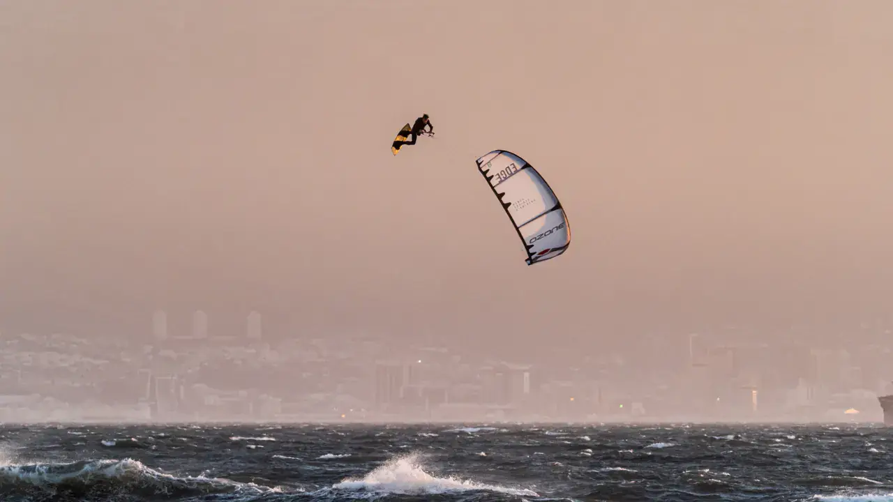
Lauwersmeer / Lauwersoog kitesurf, wingfoil and windsurf spot
Netherlands · Frise
Overview
The Lauwersmeer is an inland lake on the border of the Friesland and Groningen provinces, formed after the closure of the Lauwerszee in 1969 (Lauwers Loch). Calm and flat spot, good alternative to the very busy IJsselmeer for kiters in the northern Netherlands. Direct access from the N361, parking by the lake, grass for inflating the kite. Ideal spot for foiling thanks to flat and relatively deep water (up to 30m depth offshore). Wooden poles mark the shallow areas - beware, some are broken and hard to see. Kiting possible all year round, with no tide dependency. In NE/E/SE wind: unpleasant chop.
Spot forecast for Lauwersmeer / Lauwersoog
Sunrise 07:22 · Sunset 17:15
Forecasts provided by Open-Meteo
Lauwersmeer / Lauwersoog: when to go?
Rideable days and hours computed for a minimum wind of 7 knots · log in to set your own (foil, twin-tip…)
234h
in January · 25.5 rideable days
Wind is uneven from month to month: the best months are August, January and July, at 26 rideable days and 15 °C. The low point is May, at 17.5 days.
Rideable days per month
Wind strength when it is rideable
When the spot works, wind sits mostly between 7 and 12 knots — 63% of rideable hours. Big-kite territory. The coldest month is January, at 5 °C. The wettest month is November, with 155 mm.
Monthly averages: Lauwersmeer / Lauwersoog
| Month | Rideable days | Usable wind | Temperature | Rain |
|---|---|---|---|---|
| January | 25.5 | 234 h | 5 °C | 95 mm |
| February | 18.5 | 192 h | 7 °C | 93 mm |
| March | 19.5 | 220 h | 11 °C | 35 mm |
| April | 19.5 | 232 h | 13 °C | 80 mm |
| May | 17.5 | 222 h | 17 °C | 90 mm |
| June | 25.0 | 349 h | 18 °C | 99 mm |
| July | 25.5 | 383 h | 20 °C | 113 mm |
| August | 26.0 | 315 h | 21 °C | 62 mm |
| September | 19.5 | 229 h | 18 °C | 107 mm |
| October | 23.5 | 256 h | 14 °C | 112 mm |
| November | 22.5 | 206 h | 9 °C | 155 mm |
| December | 24.5 | 212 h | 7 °C | 73 mm |
Photo gallery of Lauwersmeer / Lauwersoog
Ridden here? One photo or video, and the spot comes alive for everyone discovering it.
Technical details of Lauwersmeer / Lauwersoog spot
The spot works with winds from N, SSE, S, SSW, SW, WSW, W, WNW, NW, NNW.
Spot functioning
Access from the N361 (Groningen-Dokkum). Parking by the lake. Lawn for inflating and laying out lines. Spot rideable all year round, with no tidal constraints. Ideal for hydrofoiling. No permanent school on site - check with local mobile schools (Antix Sports, etc.).
Spot opening date · Required level
- Spot opening date
- Open all year round
- Required level
- Intermediate
Wind specificities
SW/W/NW: best directions - stable and free wind from the lake. N/NNW also rideable. NE/E/SE: difficult chop. Wind generally more consistent than on the Wadden Sea thanks to land protection.
Hazards
Wooden poles marking shallow areas - some are broken, hard to see and difficult to avoid. Relatively deep water (up to shoulder height) at approximately 30m from shore in places. Less suitable for beginners (no clear standing-depth area). In NE/E/SE: irregular chop difficult to handle. No organised rescue on site.
Something out of date? Suggest an edit
Live
LAUWERSOOG AWS2.8 kmsource knmi
Readings reserved for Premium members
Readings from LAUWERSOOG AWS weather station are reserved for Premium members.
- Real-time readings
- Last 48 hours history
- Custom alerts
- Extended weather forecasts
Already a Premium member? Log in
Additional stations
-
Awg-1 Sea17 km
Readings reserved for Premium members
source aviationweather.gov
-
Jachthaven Lauwersmeer2.9 km
Readings reserved for Premium members
source weathercloud
All the details of your session on windtracker.app
Webcams near Lauwersmeer / Lauwersoog
Webcams provided by Windy.com
Schools, shops and places to stay nearby
Directory: Netherlands
Nearby spots
All spots: FriseComments 0
No comments yet.