
The site has just been updated: reload the page to get everything working again.
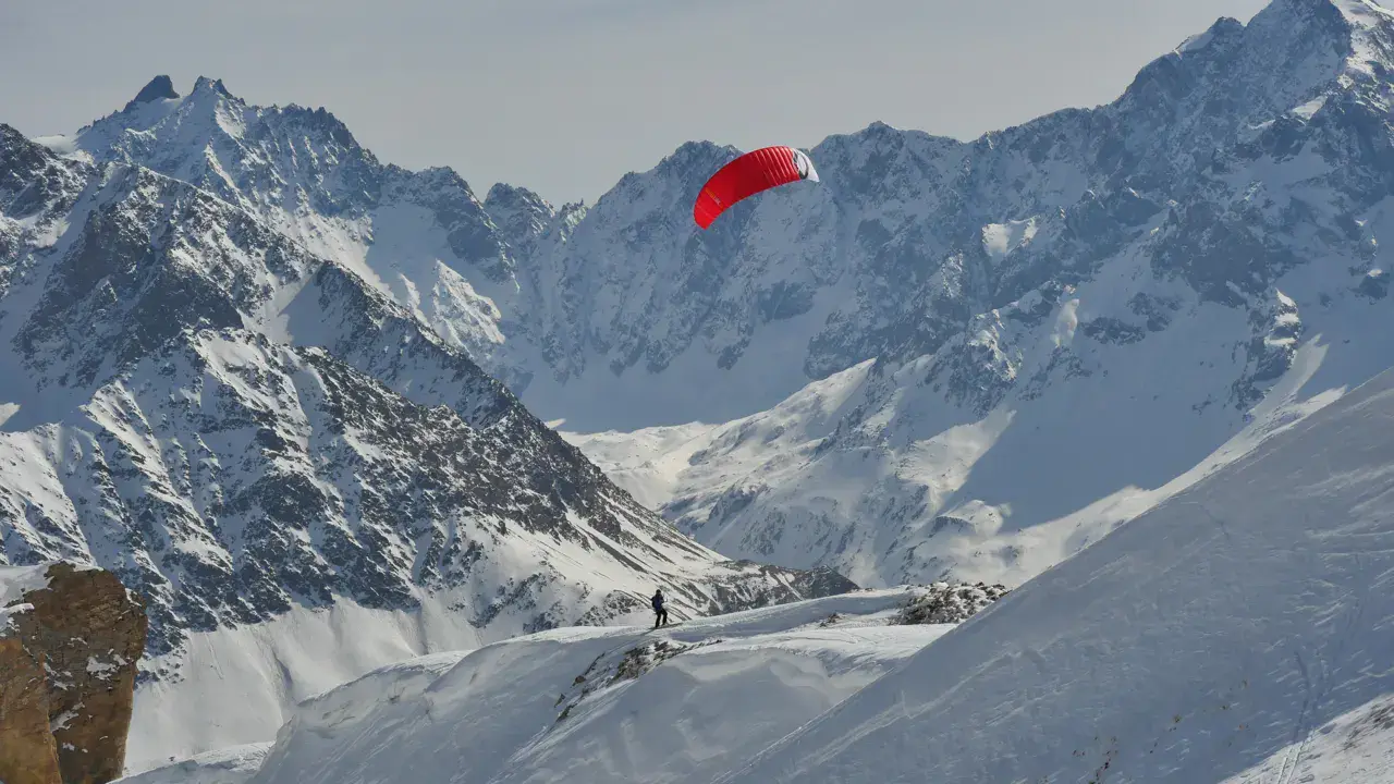
Peney snowkite spot
Switzerland · Vaud
Overview
You can ride on the ridge or go down the sides, which is steeper on the eastern part.
Ridable only with north-easterly winds (bise), sheltered from the wind by the terrain and forest when the wind comes from the south.
You can access the spot by parking at the main hall parking lot. Start from the northern part of the spot.
Spot forecast for Peney
Sunrise 07:57 · Sunset 18:38
Forecasts provided by Open-Meteo
Peney: when to go?
Rideable days and hours computed for a minimum wind of 7 knots · log in to set your own (foil, twin-tip…)
At least one year of wind data is needed to count the rideable days of this spot. Meanwhile, check the forecast.
Photo gallery of Peney
Ridden here? One photo or video, and the spot comes alive for everyone discovering it.
Technical details of Peney spot
The spot works with winds from N, NNE, NNW.
Spot functioning
You need to walk 50 meters between the parking lot and the area where you can launch. There is a path (not cleared of snow) on the ridge, be careful with hikers or snowshoers.
Spot opening date
- Spot opening date
- Open all year round
- Spot type
- Normal (Car access at spot edge)
- Altitude
- 840 m
Parking
Main hall parking lot
Wind specificities
Due to the terrain and forest, the spot is only suitable with moderate north-easterly winds (bise).
Hazards
The spot has an elongated triangular shape.
At the southern end there's the forest, and the two long sides are bordered by two fairly busy roads (route de Corcelles and route des paysans).
Be careful with the roads and the path (not cleared of snow) that runs along the ridge.
Something out of date? Suggest an edit
Live
Villars-Tiercelin1.8 kmsource MétéoSuisse
Readings reserved for Premium members
Live readings from Villars-Tiercelin weather station are reserved for Premium members.
- Real-time readings
- Last 48 hours history
- Custom alerts
- Extended weather forecasts
Already a Premium member? Log in
Additional stations
-
Oron11.8 km
Readings reserved for Premium members
source MétéoSuisse
-
DW4725 Sommentier CH13.6 km
Readings reserved for Premium members
source madis - NOAA
All the details of your session on windtracker.app
Webcams near Peney
Webcams provided by Windy.com
Schools, shops and places to stay nearby
Directory: Switzerland



Nearby spots
All spots: VaudComments 0
No comments yet.