
The site has just been updated: reload the page to get everything working again.
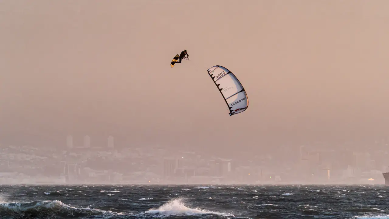
La Fleche kitesurf and wingfoil spot
Canada · Québec
Overview
Kitesurf spot at La Flèche, in the La Baie area of Saguenay. This spot is at the head of the Saguenay Fjord, one of the world's most southerly fjords. La Flèche is a sand spit extending into the Baie des Ha! Ha!, offering unique access to the fjord waters. Wind is channeled by the steep fjord walls, creating particular conditions. The setting is spectacular with the fjord's forested cliffs as a backdrop.
Spot forecast for La Fleche
Sunrise 06:53 · Sunset 16:03
Forecasts provided by Open-Meteo
Tides
Heights above lowest astronomical tide, in the spot's local time. Computed 96.7 km from the spot.
- Monday 16 November Low tide · 1.6 m High tide · 3 m Low tide · 1.8 m High tide · 3.6 m
- Tuesday 17 November Low tide · 1.6 m High tide · 3 m Low tide · 1.9 m High tide · 3.5 m
- Wednesday 18 November Low tide · 1.6 m High tide · 3.1 m Low tide · 1.9 m High tide · 3.4 m
- Thursday 19 November Low tide · 1.6 m High tide · 3.4 m Low tide · 1.7 m High tide · 3.5 m
- Friday 20 November Low tide · 1.4 m High tide · 3.7 m Low tide · 1.5 m High tide · 3.6 m
La Fleche: when to go?
Rideable days and hours computed for a minimum wind of 7 knots · log in to set your own (foil, twin-tip…)
271h
in May · 26.5 rideable days
The season runs from February to June, peaking in May: 23 rideable days a month and 271 hours of usable wind, at 9 °C. The low point is August, at 14 days.
Rideable days per month
Wind strength when it is rideable
When the spot works, wind sits mostly between 7 and 12 knots — 79% of rideable hours. Big-kite territory. The coldest month is January, at -8 °C. The wettest month is June, with 193 mm.
Monthly averages: La Fleche
| Month | Rideable days | Usable wind | Temperature | Rain |
|---|---|---|---|---|
| January | 19.5 | 162 h | -8 °C | 38 mm |
| February | 21.0 | 188 h | -7 °C | 42 mm |
| March | 24.5 | 257 h | 1 °C | 46 mm |
| April | 22.0 | 242 h | 8 °C | 46 mm |
| May | 26.5 | 271 h | 18 °C | 53 mm |
| June | 20.5 | 206 h | 23 °C | 193 mm |
| July | 18.5 | 132 h | 24 °C | 135 mm |
| August | 14.0 | 120 h | 24 °C | 64 mm |
| September | 17.5 | 156 h | 20 °C | 48 mm |
| October | 20.5 | 178 h | 12 °C | 58 mm |
| November | 22.5 | 167 h | 3 °C | 89 mm |
| December | 15.5 | 121 h | -6 °C | 42 mm |
Photo gallery of La Fleche
Ridden here? One photo or video, and the spot comes alive for everyone discovering it.
Technical details of La Fleche spot
The spot works with winds from ENE, E, ESE, SE, WSW, W, WNW.
Spot opening date · Required level
- Spot opening date
- Open all year round
- Required level
- Advanced
On the water
Saguenay Fjord at La Baie. Brackish and cold water (10-16°C in summer). The fjord is tidal with 3-5m tides. Water is protected from ocean waves but wind can be strong and channeled. Sandy bottom on the spit, dropping rapidly into the fjord (up to 270m). Tidal currents in the fjord.
Hazards
Wind channeled in the fjord can be very strong and irregular (gusts, acceleration). Deep cold water immediately next to the spit. Tidal currents in the fjord. Hypothermia possible — thick wetsuit mandatory. Recreational and cruise boat traffic in the fjord. Cliffs limiting evacuation options.
Something out of date? Suggest an edit
Live
BAGOTVILLE AIRPORT14 kmsource Environment Canada
Readings reserved for Premium members
Live readings from BAGOTVILLE AIRPORT weather station are reserved for Premium members.
- Real-time readings
- Last 48 hours history
- Custom alerts
- Extended weather forecasts
Already a Premium member? Log in
Additional stations
-
Readings reserved for Premium members
source madis - NOAA
-
Bagotville14.4 km
Readings reserved for Premium members
source Environment Canada
All the details of your session on windtracker.app
Webcams near La Fleche
Webcams provided by Windy.com
Nearby spots
All spots: QuébecComments 0
No comments yet.