
The site has just been updated: reload the page to get everything working again.
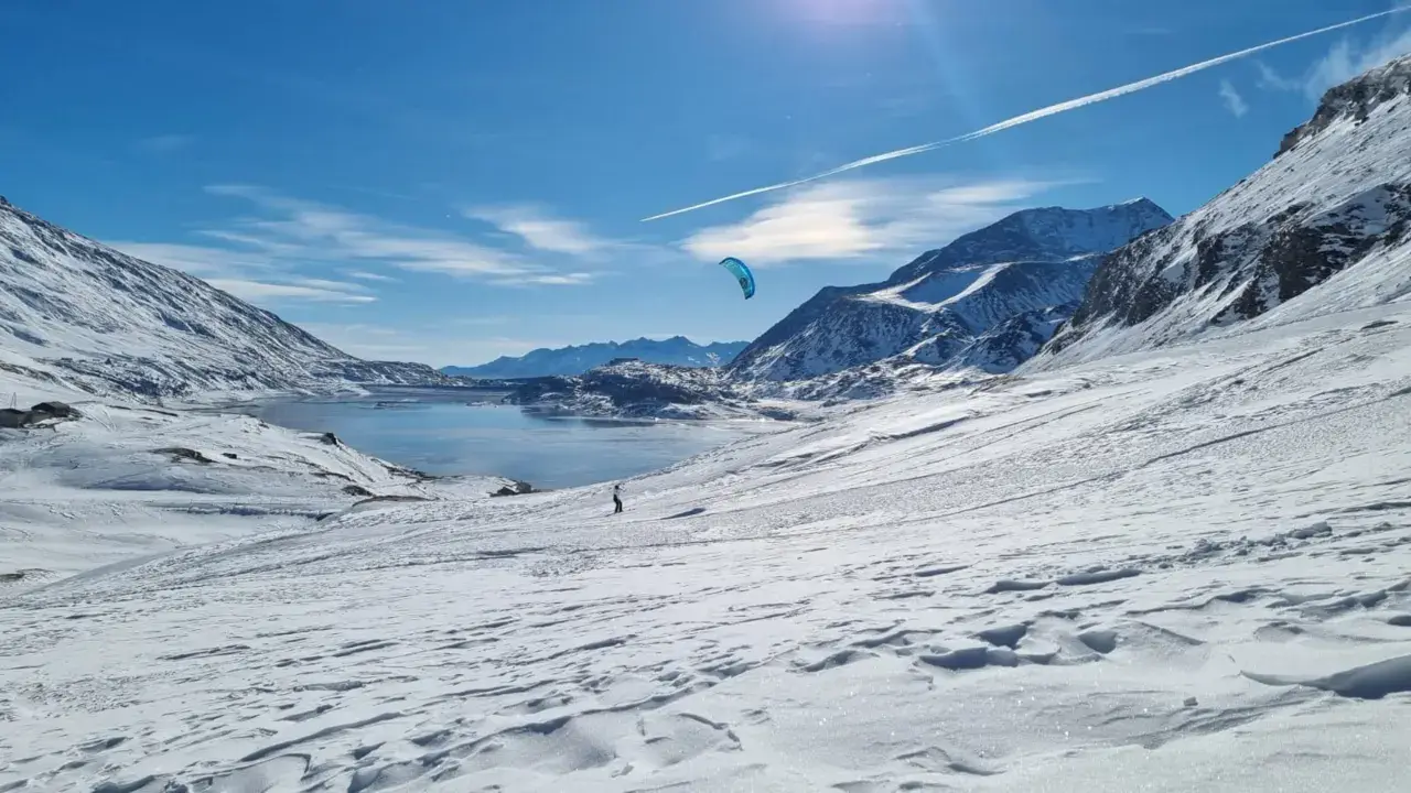
Col du Mont Cenis snowkite spot
France · Auvergne-Rhône-Alpes
Overview
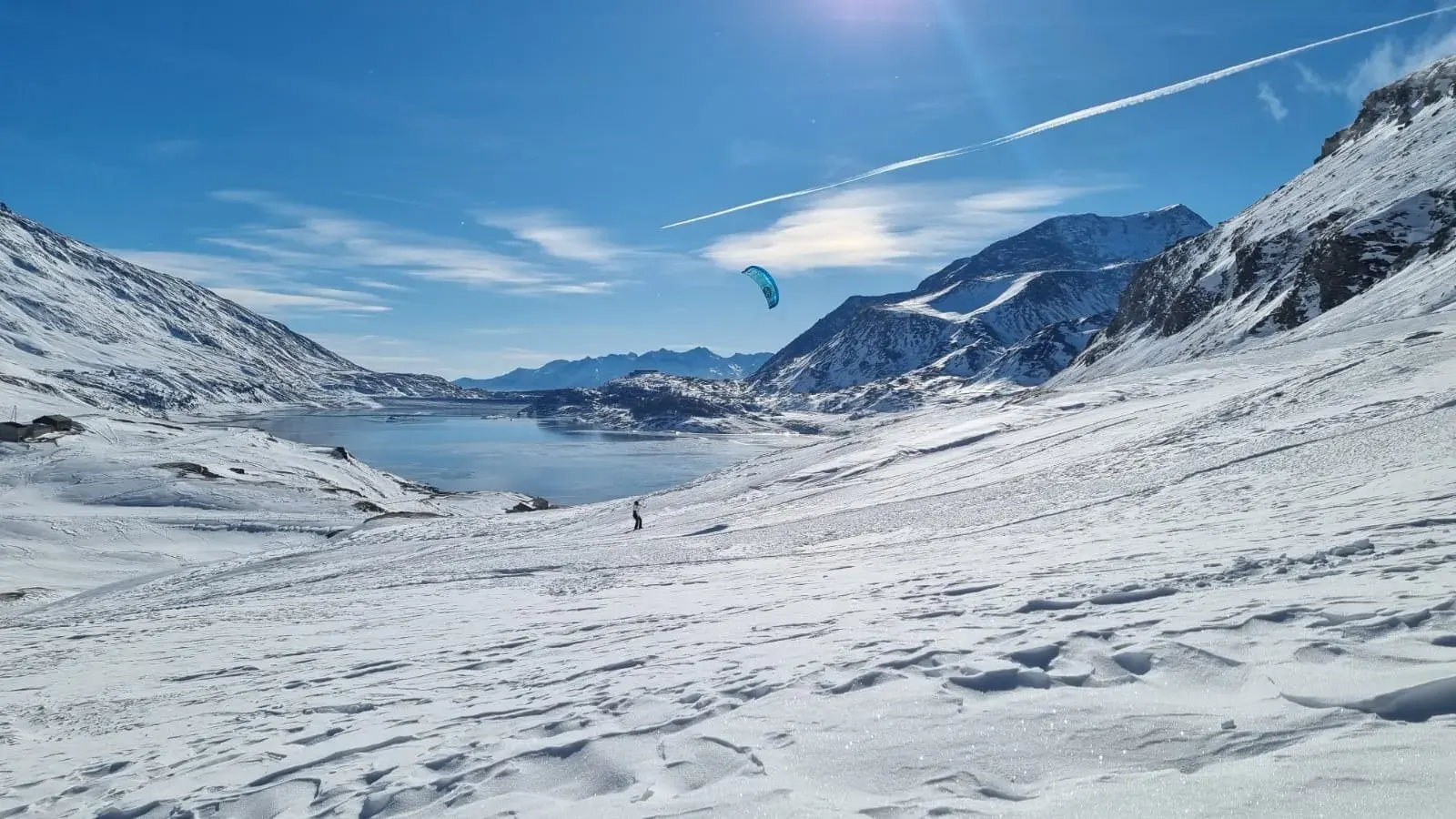
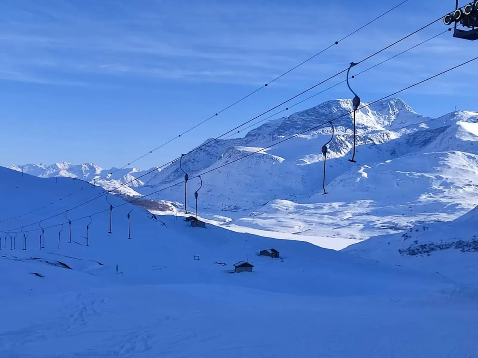
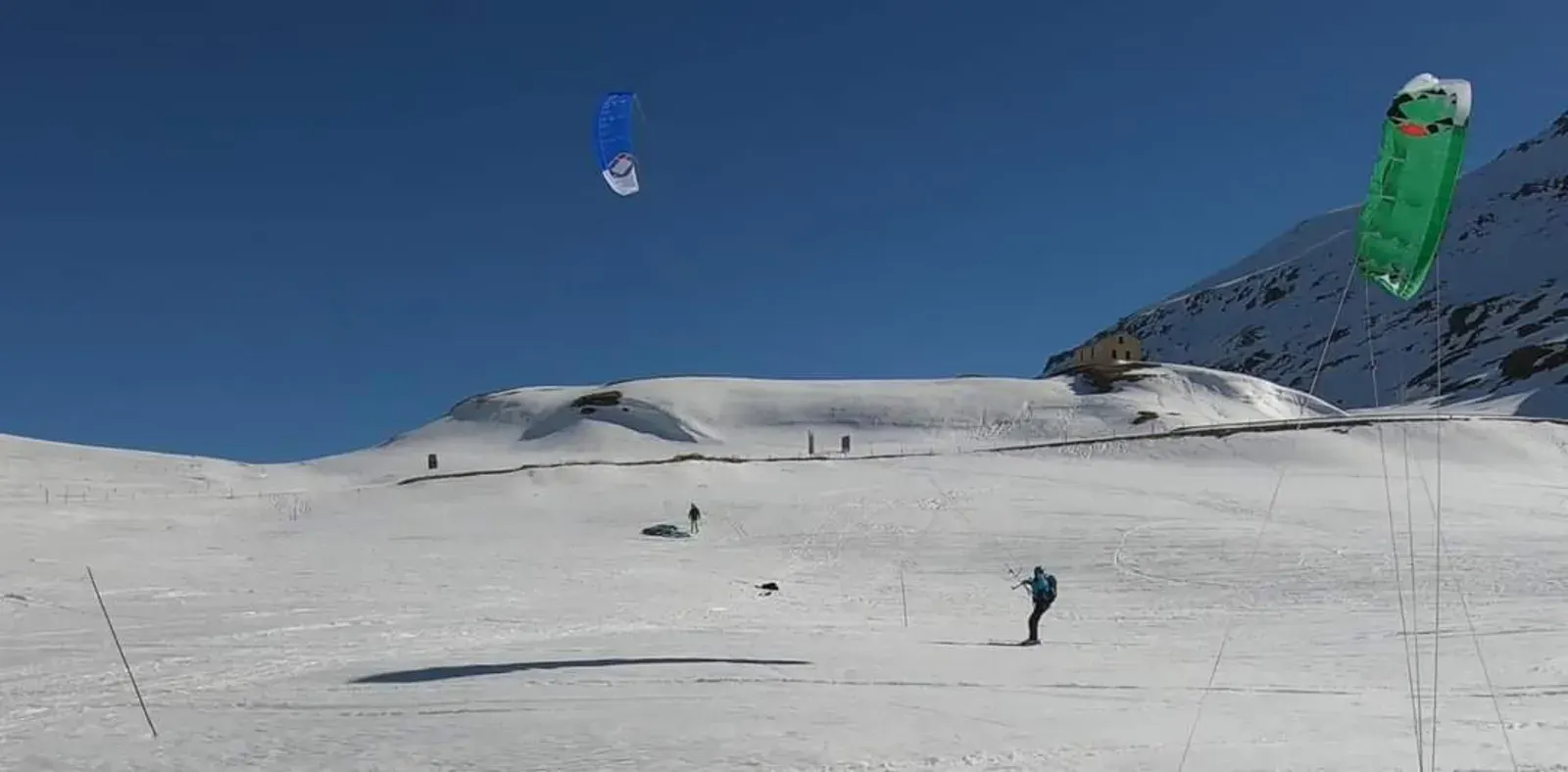
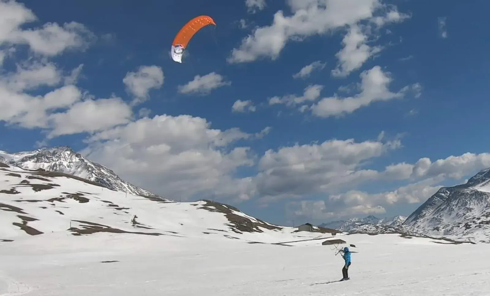
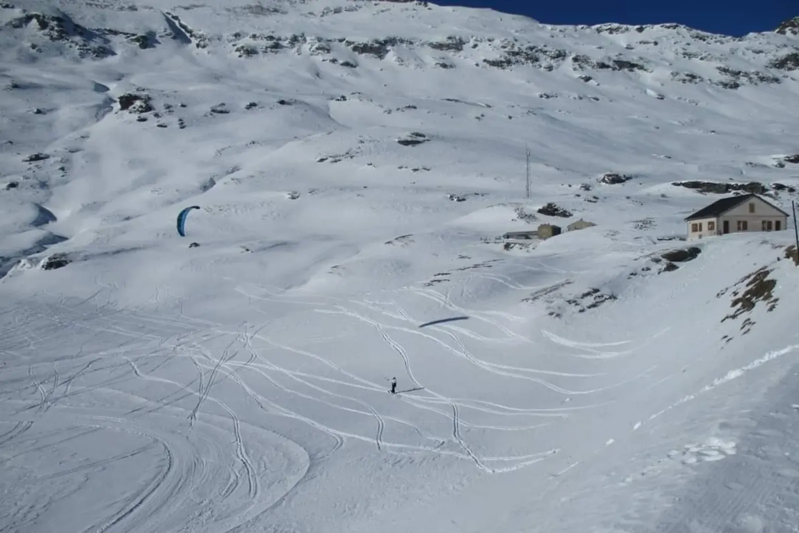
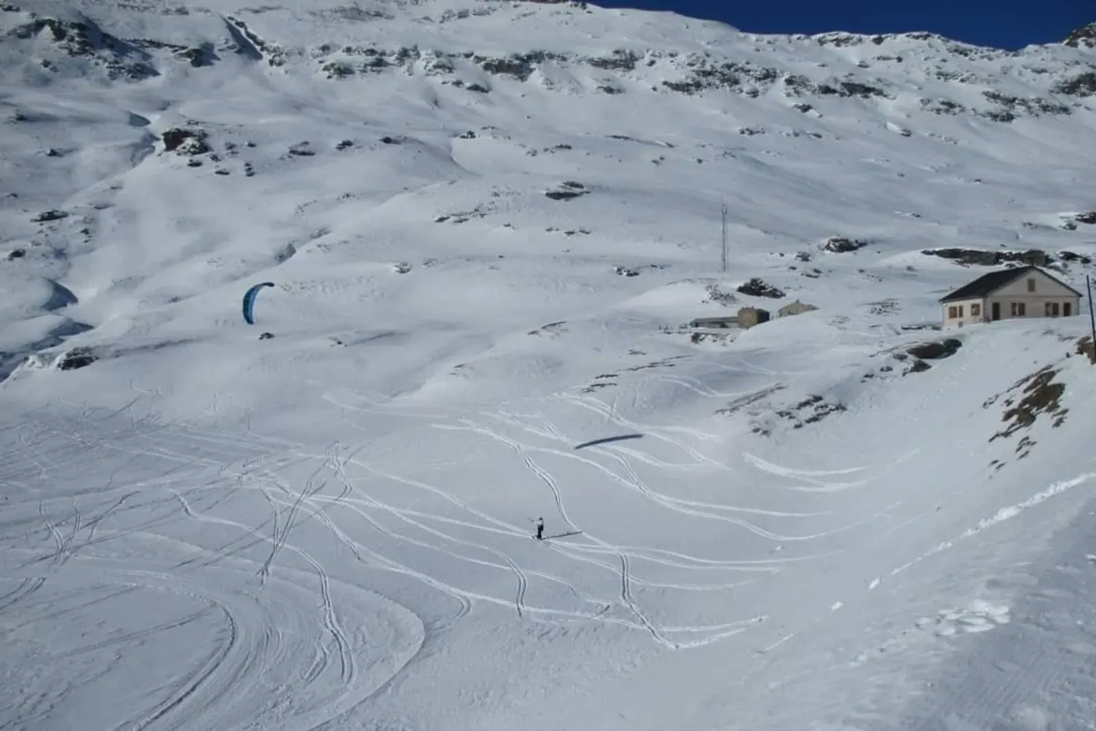
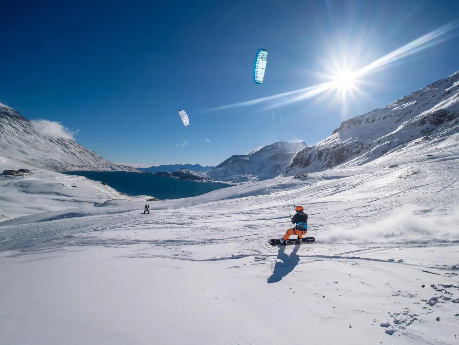
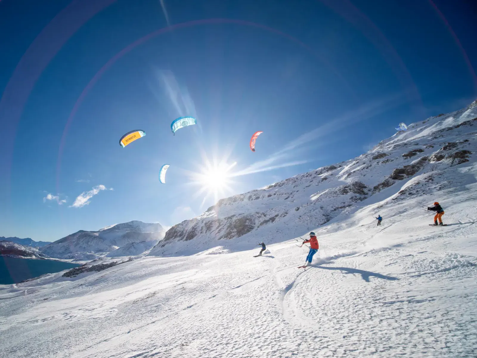
A magnificent mountain pass spot with flat areas, undulating sections, and steeper slopes on the sides. Beautiful view of Mont-Cenis lake. Access via the ski resort, see procedure in the technical sheet
Spot forecast for Col du Mont Cenis
Sunrise 07:55 · Sunset 18:39
Forecasts provided by Open-Meteo
Col du Mont Cenis: when to go?
Rideable days and hours computed for a minimum wind of 7 knots · log in to set your own (foil, twin-tip…)
135h
in January · 18 rideable days
The season runs from December to April, peaking in January: 15 rideable days a month and 135 hours of usable wind, at 1 °C. The low point is June, at 0 days.
Rideable days per month
Wind strength when it is rideable
When the spot works, wind sits mostly between 7 and 12 knots — 80% of rideable hours. Big-kite territory. The coldest month is January, at -1 °C. The wettest month is March, with 150 mm. Snow depth peaks in March, at 105 cm.
Monthly averages: Col du Mont Cenis
| Month | Rideable days | Usable wind | Temperature | Rain |
|---|---|---|---|---|
| January | 18.0 | 135 h | -1 °C | 104 mm |
| February | 10.5 | 76 h | 1 °C | 42 mm |
| March | 17.5 | 150 h | 1 °C | 150 mm |
| April | 15.5 | 133 h | 5 °C | 142 mm |
| May | 7.0 | 40 h | 9 °C | 97 mm |
| June | 0.0 | 0 h | 16 °C | 119 mm |
| July | 0.0 | 0 h | 17 °C | 74 mm |
| August | 0.0 | 0 h | 18 °C | 53 mm |
| September | 0.0 | 0 h | 11 °C | 120 mm |
| October | 1.0 | 7 h | 8 °C | 142 mm |
| November | 5.0 | 34 h | 3 °C | 76 mm |
| December | 13.5 | 98 h | 0 °C | 66 mm |
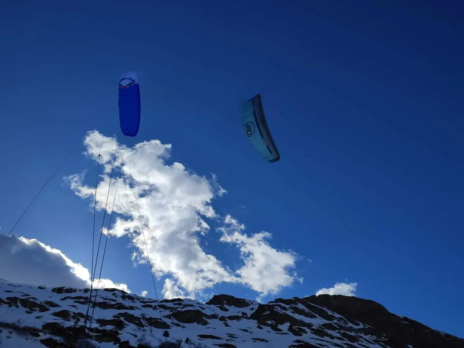
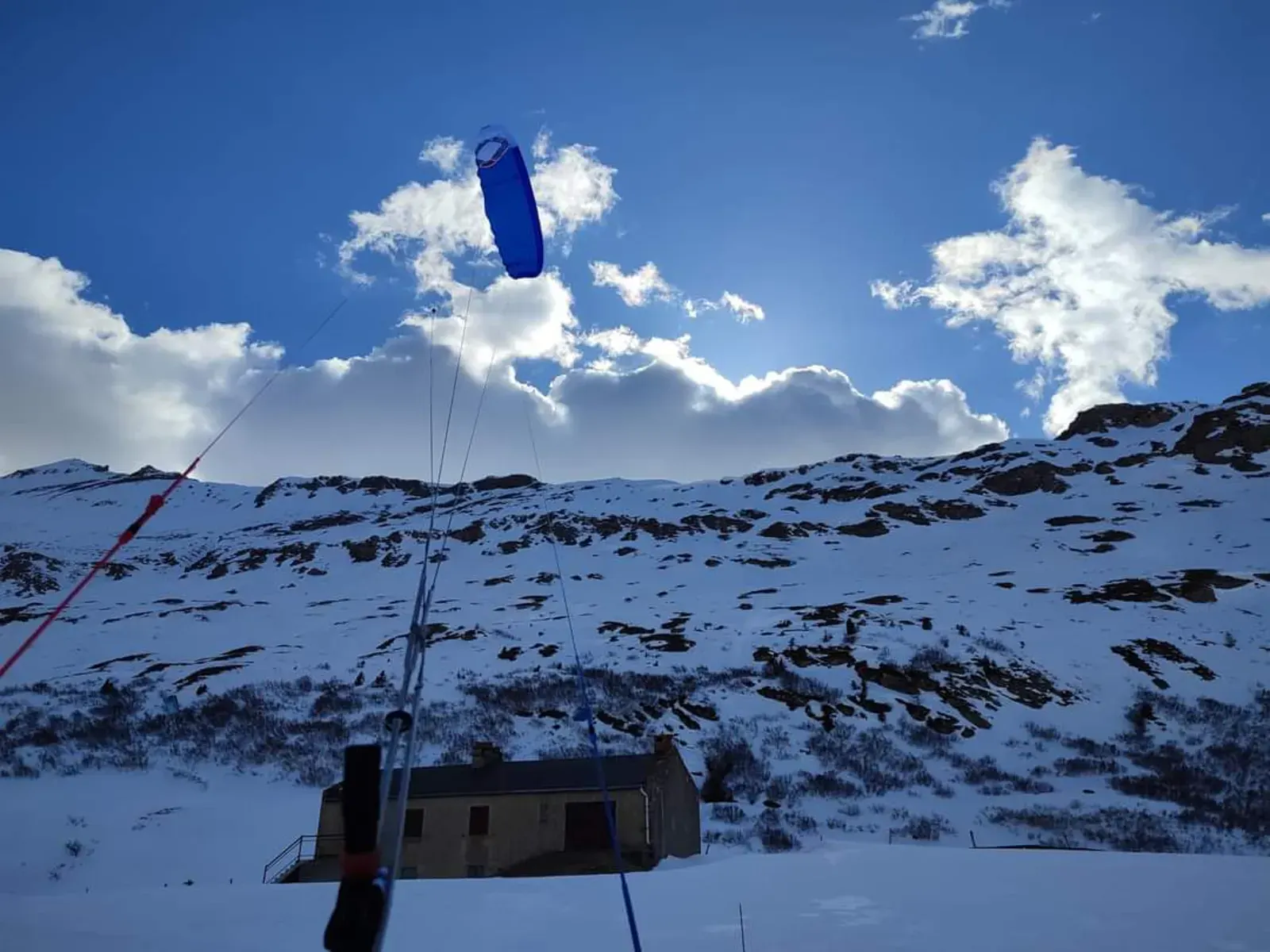
Photo gallery of Col du Mont Cenis


Technical details of Col du Mont Cenis spot
The spot works with winds from N, NNE, SSE, S, SSW, NNW.
Local association recommendations
Message from KAF:
We're making progress with the Val Cenis resort
A snowkite pass allows access to the spots, procedure below.
The spots are not yet under FFVL (French Free Flight Federation) Snowkite convention, it's in progress, but kiting is officially authorized there
PLEASE respect these natural areas and ski domain as much as possible:
- You NEVER have priority over skiers at the edge of or crossing the slopes
- Stay at a good distance or stop with your kite at zenith when dog sleds pass by
- Identify the dog sled tracks, and don't place your kites, lines or bags on them
- There are bearded vultures living here, share the spot with them
- Don't enter after the slopes close, snow groomers start operating, groomer cable on La Ramasse slope
- Go for drinks or food at the Col du Mont Cenis lodge
Procedure for accessing the spot via the ski resort:
Rate: -50% on the day pass (23.25)
Purchasing the pass:
- The customer buys their pass only at the ticket office and informs the lift ticket seller which lift they plan to use.
- They identify themselves to the ticket seller either with their equipment or by presenting a membership card or practitioner card for backcountry skiing or snowkiting.
- The customer is informed that they must return the pass to the staff at the last lift they use.
Special case: La Ramasse
If the lift is La Ramasse, the customer will receive a ticket that they must give to the staff at the departure of the lift.
Spot functioning
SnowKite pass 23.25 euros. Access via the La Ramasse chairlift from Lanslebourg.
Then, on foot, or with the Mont Cenis t-bar lift, go to the Col du Mont Cenis.
Spot opening date
- Spot opening date
- Open all year round
- Spot type
- Resort (Ski lift access)
- Altitude
- 2,083 m
Something out of date? Suggest an edit
Live
MONT CENIS1.8 kmsource meteofrance
Readings reserved for Premium members
Live readings from MONT CENIS weather station are reserved for Premium members.
- Real-time readings
- Last 48 hours history
- Custom alerts
- Extended weather forecasts
Already a Premium member? Log in
Additional stations
-
Déco Angle de Bellecôte13.6 km
Readings reserved for Premium members
source Pioupiou
-
Barcenisio9.3 km
Readings reserved for Premium members
source meteoitalia
All the details of your session on windtracker.app
Nearby spots
All spots: Auvergne-Rhône-Alpes- 7 km Plan des CavalesAuvergne-Rhône-Alpes, France
- 43 km Dôme de VaugelazAuvergne-Rhône-Alpes, France
- 46 km Col du LautaretProvence-Alpes-Côte d'Azur, France
- 46 km Col de la MadelaineAuvergne-Rhône-Alpes, France
- 47 km Serre ChevalierProvence-Alpes-Côte d'Azur, France
- 47 km Col du petit St-BernardAuvergne-Rhône-Alpes, France
Comments 0
No comments yet.