
The site has just been updated: reload the page to get everything working again.
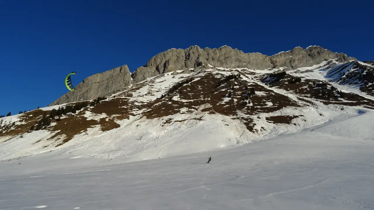
Col des Aravis snowkite spot
France · Auvergne-Rhône-Alpes
Overview
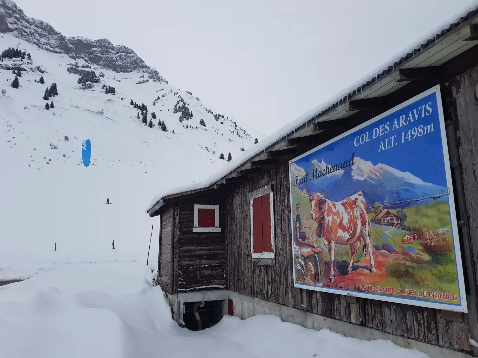
Mid-mountain spot, located at the border between Haute-Savoie and Savoie, easily accessible due to the mountain pass that is normally always open.
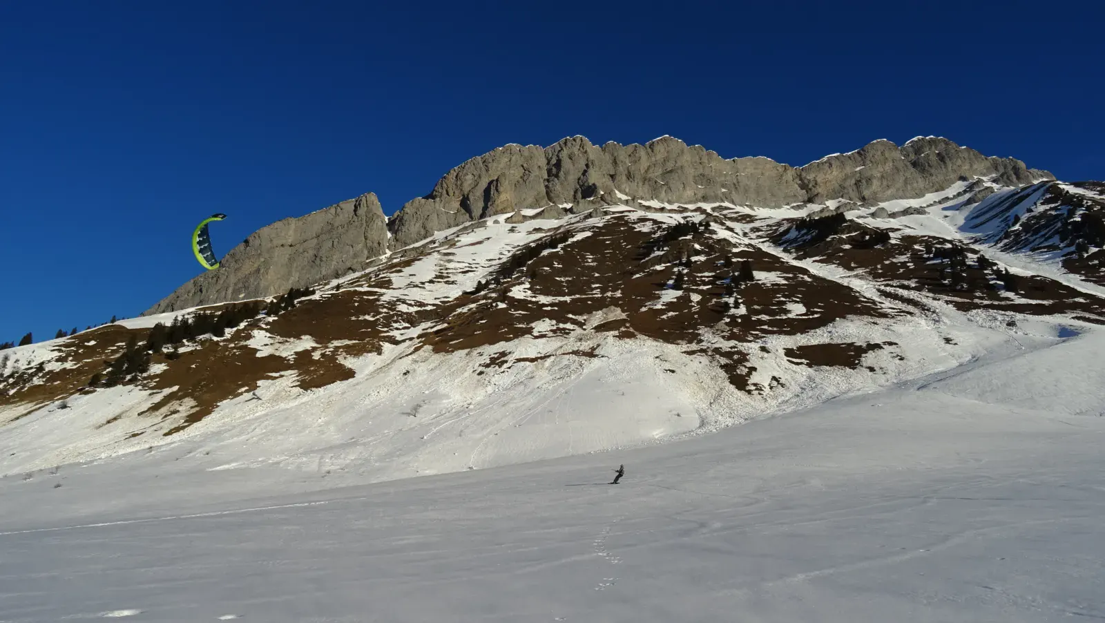
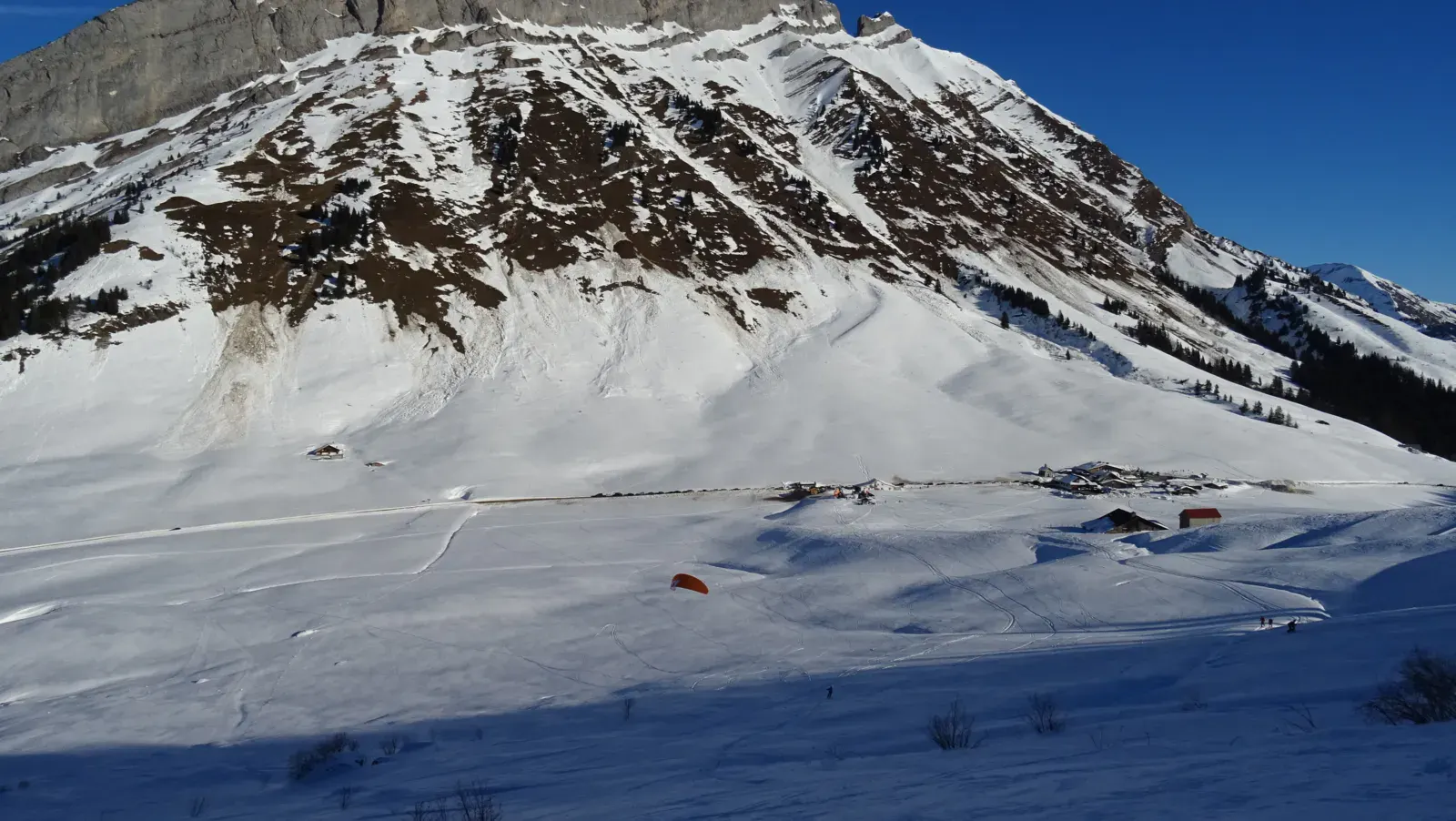
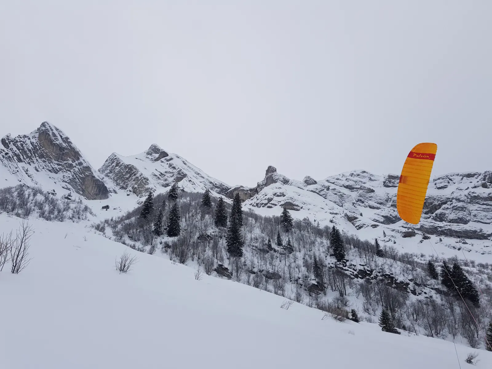
Regarding the terrain, it's a basin opening towards the WNW direction (La Clusaz) and east (La Giettaz) and closed by the slopes of Borderan to the north and the Etale massif to the south.
The spot is not large (about 1km²), consisting of some flat areas but mostly slopes that rise quickly. On the south side, it's the starting point for many ski tours. Not too many rocks, it's a pasture area.
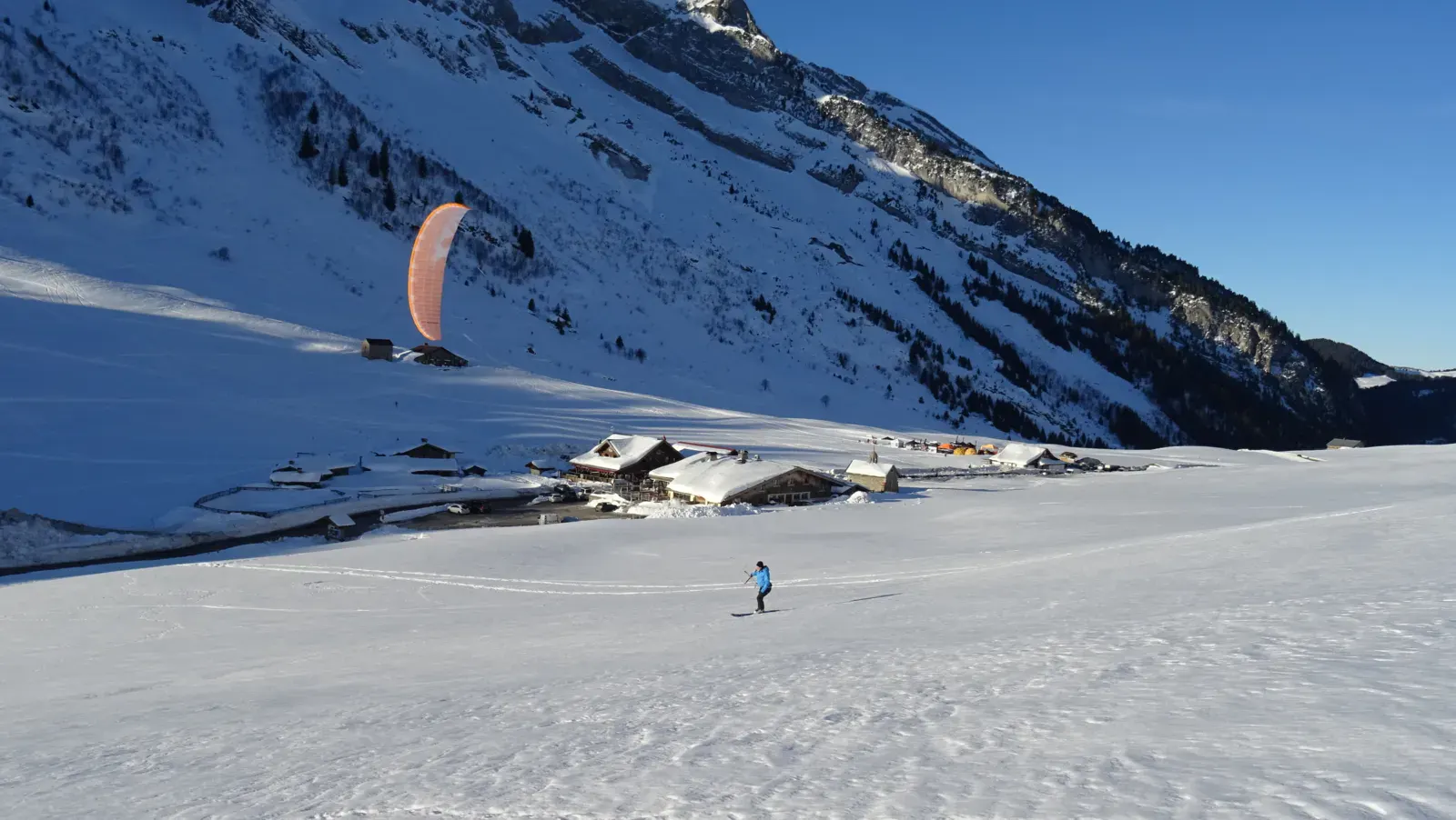
Three restaurants are present on site.
To get an idea, two reports can be consulted:
Spot forecast for Col des Aravis
Sunrise 07:57 · Sunset 18:40
Forecasts provided by Open-Meteo
Col des Aravis: when to go?
Rideable days and hours computed for a minimum wind of 7 knots · log in to set your own (foil, twin-tip…)
15h
in April · 2.5 rideable days
The season runs from February to April, peaking in April: 2 rideable days a month and 15 hours of usable wind, at 6 °C. The low point is January, at 0 days.
Rideable days per month
Wind strength when it is rideable
When the spot works, wind sits mostly between 7 and 12 knots — 100% of rideable hours. Big-kite territory. The coldest month is January, at 3 °C. The wettest month is September, with 306 mm. Snow depth peaks in February, at 52 cm.
Monthly averages: Col des Aravis
| Month | Rideable days | Usable wind | Temperature | Rain |
|---|---|---|---|---|
| January | 0.0 | 0 h | 3 °C | 255 mm |
| February | 0.5 | 2 h | 5 °C | 107 mm |
| March | 2.0 | 10 h | 5 °C | 87 mm |
| April | 2.5 | 15 h | 9 °C | 120 mm |
| May | 0.0 | 0 h | 12 °C | 211 mm |
| June | 0.0 | 0 h | 18 °C | 191 mm |
| July | 0.0 | 0 h | 18 °C | 162 mm |
| August | 0.0 | 0 h | 20 °C | 179 mm |
| September | 0.0 | 0 h | 13 °C | 306 mm |
| October | 0.0 | 0 h | 11 °C | 209 mm |
| November | 0.0 | 2 h | 6 °C | 173 mm |
| December | 1.0 | 7 h | 4 °C | 136 mm |
Photo gallery of Col des Aravis


Technical details of Col des Aravis spot
The spot works with winds from NE, ENE, E, NW.
Depending on conditions: WNW, NNW.
Spot opening date
- Spot opening date
- Open all year round
Depending on snow conditions
- Spot type
- Normal (Car access at spot edge)
- Altitude
- 1,493 m
Parking
Two parking areas at the pass. During the peak winter season, avoid parking in the restaurant parking lots (due to clientele).
It's possible to park along the roadside, but it depends on the snow banks. Be careful, the road is rather busy.
Wind specificities
Very good wind orientation from E to NE to explore the spot and climb the slopes located to the south (only orientation tested to date during two sessions).
The NW wind (rather rare) allows you to go a bit lower towards La Clusaz.
Hazards
Some usual snow slides on the Borderan side, don't go up too high: steep slope.
Some fences dot the flat area + presence of a gully marking the stream that flows down from the place "La Grande Montagne".
Tourist helicopter landing zone behind the Les Rhodos restaurant: don't get too close during rotations.
Be careful of hikers heading towards Combe à Marion as well as cars traveling on the road.
Something out of date? Suggest an edit
Live
Cordon - Tête du Planet 1838m9.3 kmsource Pioupiou
Readings reserved for Premium members
Live readings from Cordon - Tête du Planet 1838m weather station are reserved for Premium members.
- Real-time readings
- Last 48 hours history
- Custom alerts
- Extended weather forecasts
Already a Premium member? Log in
Additional stations
-
La Clusaz2.2 km
Readings reserved for Premium members
source FFVL
-
Crêt du Loup, La Clusaz2.2 km
Readings reserved for Premium members
source Pioupiou
All the details of your session on windtracker.app
Webcams near Col des Aravis
Webcams provided by Windy.com
Schools, shops and places to stay nearby
Directory: France



Nearby spots
All spots: Auvergne-Rhône-Alpes- 12 km Col des AnnesAuvergne-Rhône-Alpes, France
- 14 km La plaine de Dran du plateau des GlieresAuvergne-Rhône-Alpes, France
- 14 km Col de VéryAuvergne-Rhône-Alpes, France
- 14 km MegèveAuvergne-Rhône-Alpes, France
- 15 km Plateau des GlièresAuvergne-Rhône-Alpes, France
- 16 km Col de CeniseAuvergne-Rhône-Alpes, France
Comments 0
No comments yet.