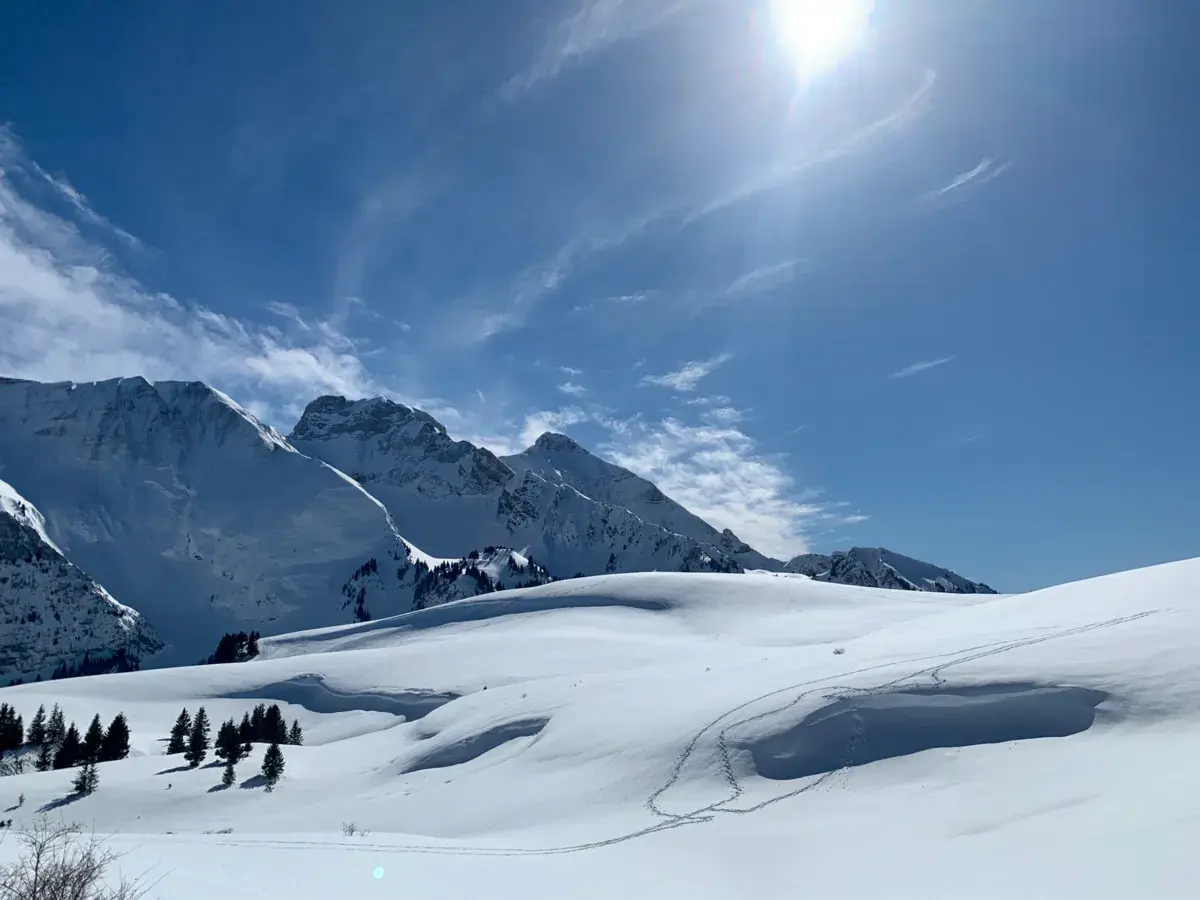
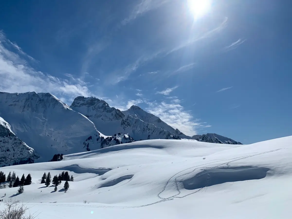
Magnificent and vast mid-mountain spot (1,724m), overlooked by the Petit and Grand Bargy, as well as the Pic de Jallouvre. No particular danger that I'm aware of.
Allow 1.5 to 2 hours of hiking (touring skis or snowshoes) to get there (575m elevation gain).
The spot is slightly hilly. The slope faces southwest, making it very pleasant in SW wind. Avoid foehn winds which come over the mountain range and are therefore very gusty. Also avoid the Bise (north wind) which, surprisingly, barely reaches the spot (except sometimes when there's a north current at altitude).
Rideable days and hours computed for a minimum wind of 7 knots · log in to set your own (foil, twin-tip…)
The season runs from November to January, peaking in December: 11 rideable days a month and 88 hours of usable wind, at 2 °C. The low point is July, at 0 days.
7-12 knots · 72% 13-20 knots · 25% 21-30 knots · 3% 31+ knots · under 1%
When the spot works, wind sits mostly between 7 and 12 knots — 72% of rideable hours. Big-kite territory. The coldest month is January, at 1 °C. The wettest month is September, with 255 mm. Snow depth peaks in March, at 63 cm. Bar height is the month's rideable days; the split shows how its wind hours break down by strength.
| Month | Rideable days | Usable wind | Temperature | Rain |
|---|---|---|---|---|
| January | 11.0 | 109 h | 1 °C | 227 mm |
| February | 5.5 | 49 h | 3 °C | 112 mm |
| March | 12.0 | 91 h | 3 °C | 68 mm |
| April | 13.0 | 121 h | 6 °C | 113 mm |
| May | 3.0 | 30 h | 9 °C | 207 mm |
| June | 1.5 | 9 h | 16 °C | 181 mm |
| July | 0.0 | 0 h | 16 °C | 143 mm |
| August | 0.0 | 0 h | 18 °C | 131 mm |
| September | 1.0 | 7 h | 11 °C | 255 mm |
| October | 1.5 | 16 h | 9 °C | 196 mm |
| November | 8.5 | 60 h | 4 °C | 182 mm |
| December | 12.0 | 88 h | 2 °C | 116 mm |
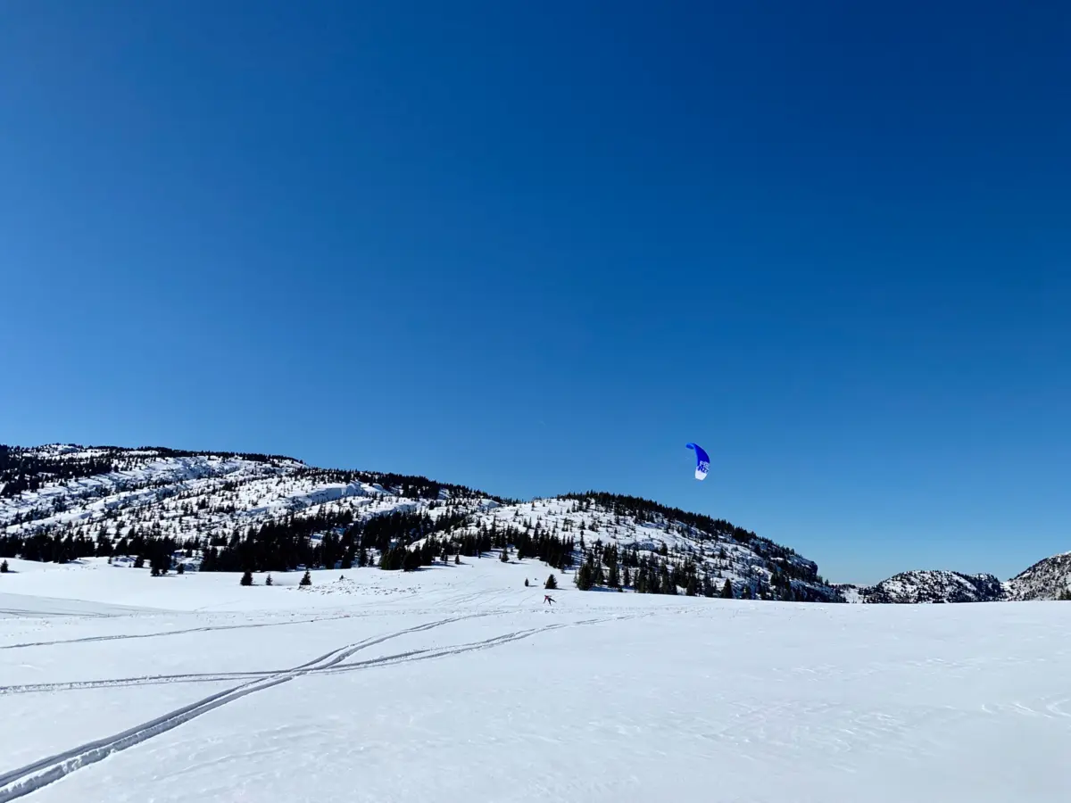
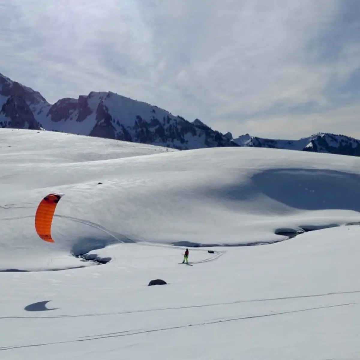
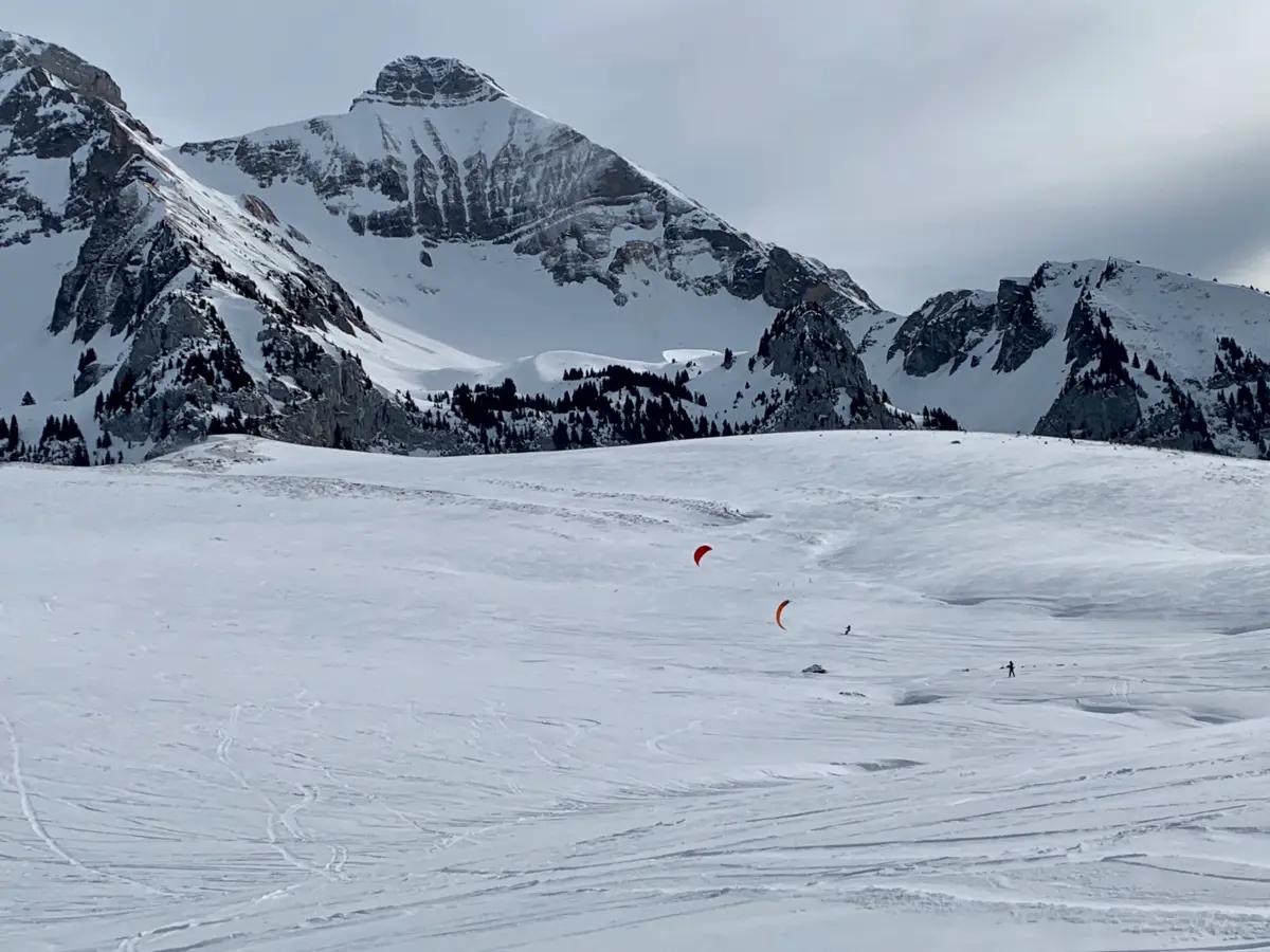
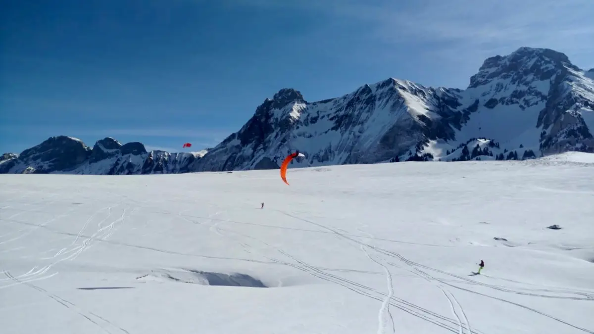
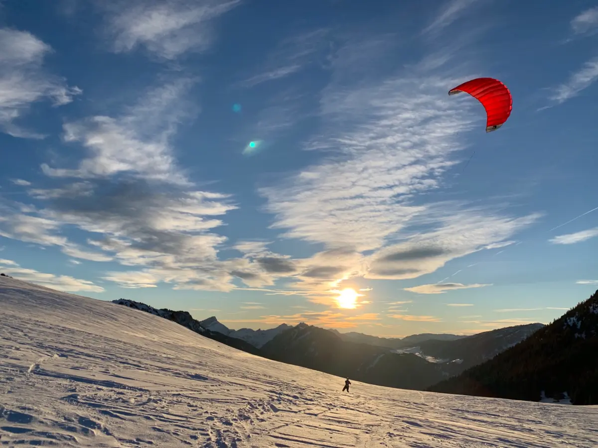
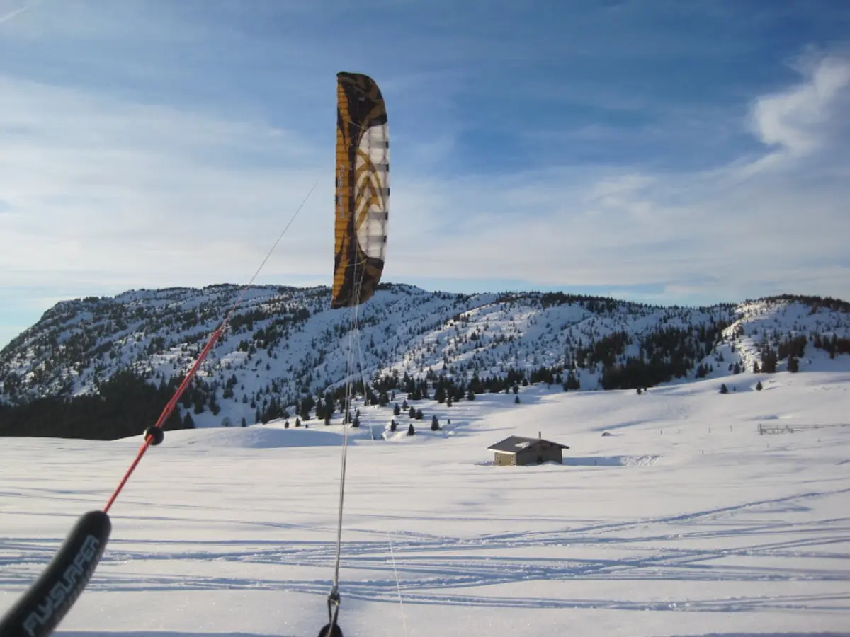
Drive up through Mont-Saxonnex to Morsullaz, to the end of the authorized road, where you'll find the last parking area (with a refreshment bar that looks nice and even public toilets... luxury). From there, take the road that continues uphill (it serves the 3-4 higher chalets but is not authorized for other vehicles), then put on your skis and head up the slope to the left. From there, follow the track and you'll reach the pass... you can hardly go wrong. Allow 1.5-2 hours (575m elevation gain). No avalanche risk on this route.
Alternative if snow is lacking: climb up through the small valley directly in front of you from the parking. Caution: potential avalanche risks, so be vigilant and properly equipped. A fairly steep climb at the end which can be tricky on frozen snow (bring ski crampons) or soft "soup" snow.
Open all year round
Freeride (Ski touring access)
Altitude: 1724m
Tested in west wind: a delight (the spot is right in the wind axis and pushes you up the slope).
Tested in foehn: a disaster (very gusty and violent).
Tested in Bise: the Bise barely reaches the spot. Only north wind at altitude can get through. In that case, you can even launch your kite halfway up the climb.
No particular dangers. You're in mid-mountain terrain, far from everything, so manage your risks accordingly.
If you notice any outdated information:
Suggest an editLive data from LE GRAND-BORNAND weather station (wind, gusts, history) is reserved for Premium members.
Already a Premium member? Log in
Loading webcams...


Comments 0
Login to commentNo comments yet.