
The site has just been updated: reload the page to get everything working again.
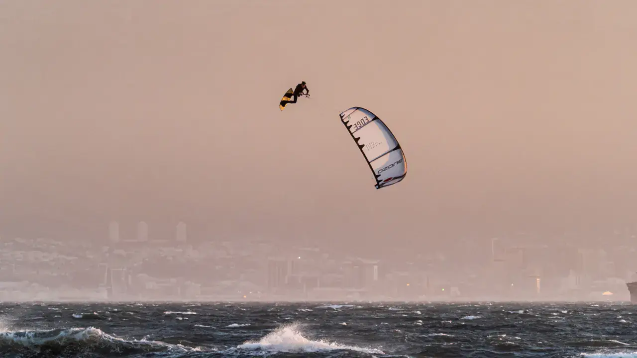
Shale Beach kitesurf and wingfoil spot
United States · Kentucky
Overview
Shale Beach is a spot on Lake Cumberland in southern Kentucky, one of the largest man-made lakes in the eastern United States. The lake stretches over 100 miles through the hills of the Cumberland Plateau. Wind blows primarily from the south/southwest, channeled through the surrounding valleys. The lake is known for its clear waters (by regional standards) and natural setting in the Appalachian forests. Conditions are suitable for intermediate riders. Best season from May to October.
Spot forecast for Shale Beach
Sunrise 06:51 · Sunset 17:56
Forecasts provided by Open-Meteo
Shale Beach: when to go?
Rideable days and hours computed for a minimum wind of 7 knots · log in to set your own (foil, twin-tip…)
65h
in March · 10 rideable days
The season runs from February to May, peaking in March: 9 rideable days a month and 65 hours of usable wind, at 19 °C. The low point is August, at 0 days.
Rideable days per month
Wind strength when it is rideable
When the spot works, wind sits mostly between 7 and 12 knots — 95% of rideable hours. Big-kite territory. The coldest month is January, at 5 °C. The wettest month is May, with 275 mm.
Monthly averages: Shale Beach
| Month | Rideable days | Usable wind | Temperature | Rain |
|---|---|---|---|---|
| January | 5.0 | 27 h | 5 °C | 71 mm |
| February | 7.5 | 45 h | 12 °C | 90 mm |
| March | 10.0 | 65 h | 18 °C | 85 mm |
| April | 9.0 | 72 h | 21 °C | 60 mm |
| May | 7.5 | 37 h | 24 °C | 275 mm |
| June | 2.5 | 19 h | 29 °C | 104 mm |
| July | 2.5 | 15 h | 31 °C | 161 mm |
| August | 0.0 | 3 h | 29 °C | 36 mm |
| September | 2.0 | 10 h | 27 °C | 121 mm |
| October | 3.0 | 16 h | 22 °C | 52 mm |
| November | 6.5 | 38 h | 16 °C | 43 mm |
| December | 7.0 | 44 h | 10 °C | 65 mm |
Photo gallery of Shale Beach
Ridden here? One photo or video, and the spot comes alive for everyone discovering it.
Technical details of Shale Beach spot
The spot works with winds from S, SSW, SW.
Spot opening date · Required level
- Spot opening date
- Open all year round
- Required level
- Intermediate
On the water
Fresh water with temperature ranging from 12°C/54°F in spring to 27°C/80°F in summer. Wetsuit recommended in spring and fall (4/3mm), shorty or lycra in summer. The bottom is a mix of shale, rocks, and sand — hence the spot name. Water is relatively clear. Chop can be significant on open sections of the lake. Lake level fluctuates with seasons and rainfall.
Hazards
Violent thunderstorms frequent from May to September — lightning is a lethal danger, leave the water immediately. Heavy motorboat and houseboat traffic in summer. Cliffs and rocks along shoreline. Variable lake level — submerged obstacles possible. Cool water in spring and fall. Snakes (copperheads, water moccasins) possible near shoreline.
Something out of date? Suggest an edit
Live
FW1232 Monticello3 kmsource noaa
Readings reserved for Premium members
Live readings from FW1232 Monticello weather station are reserved for Premium members.
- Real-time readings
- Last 48 hours history
- Custom alerts
- Extended weather forecasts
Already a Premium member? Log in
Additional stations
-
Readings reserved for Premium members
source madis - NOAA
-
AC4AG17.2 km
Readings reserved for Premium members
source CWOP / APRS-IS
All the details of your session on windtracker.app
Webcams near Shale Beach
Webcams provided by Windy.com
Nearby spots
All spots: United StatesComments 0
No comments yet.