
The site has just been updated: reload the page to get everything working again.
Terenez - Plougasnou (Morlaix Bay) kitesurf, wingfoil and windsurf spot
France · Bretagne
Overview
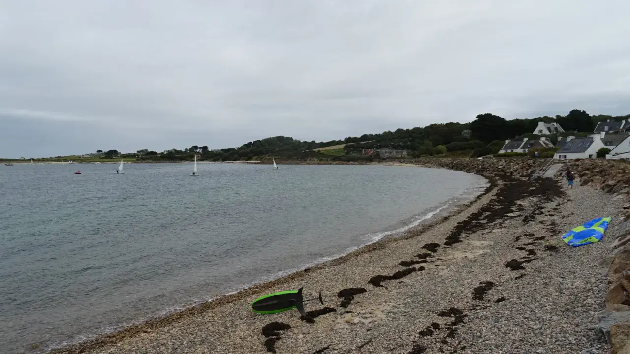
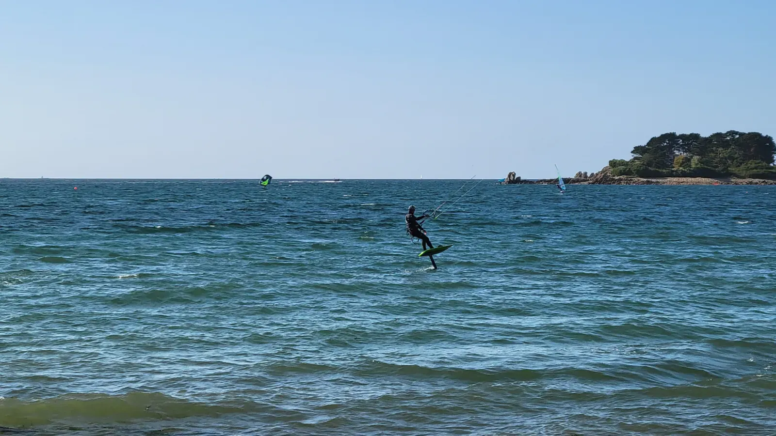
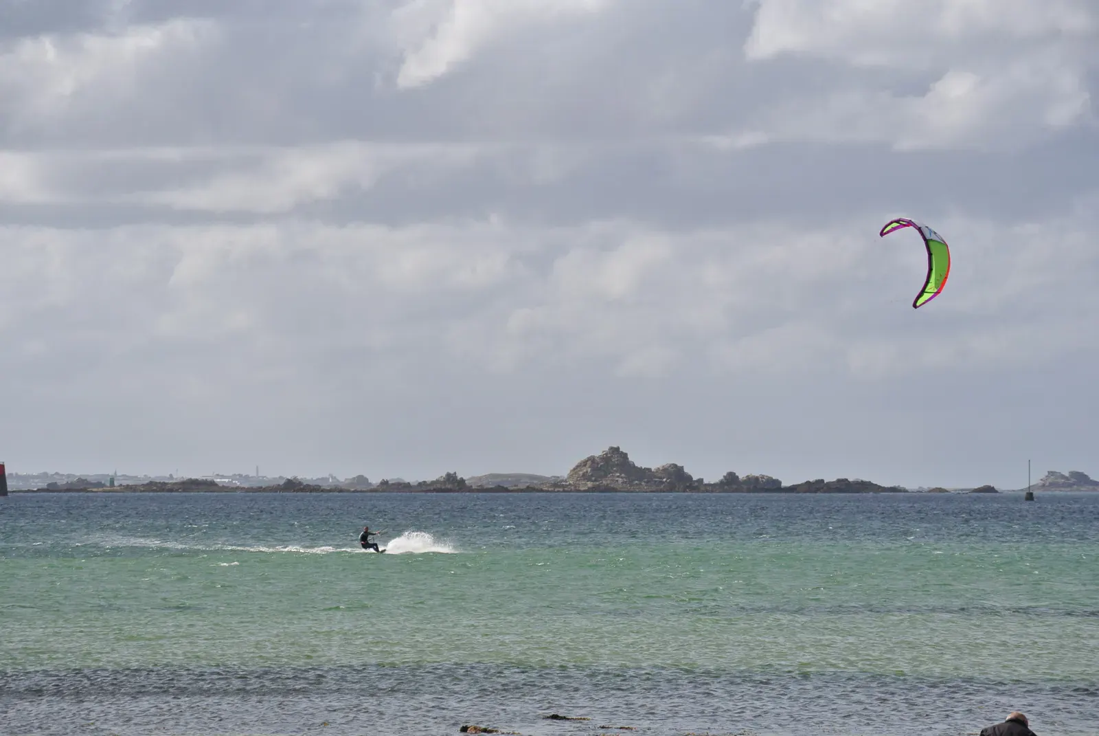
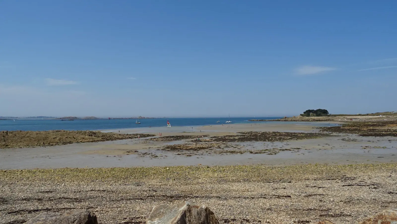
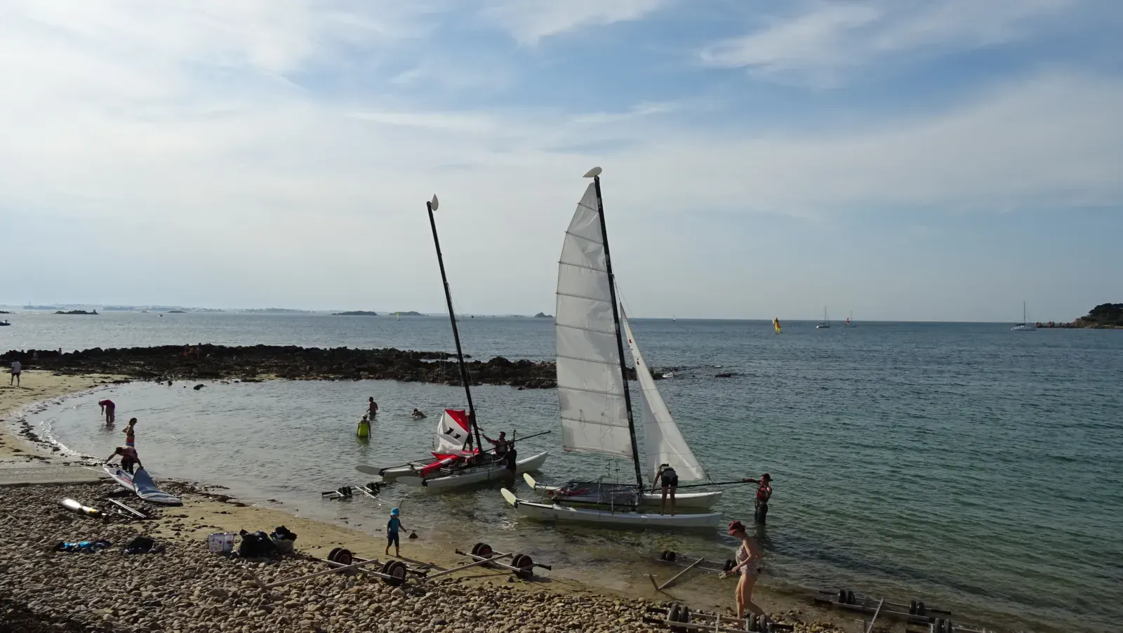
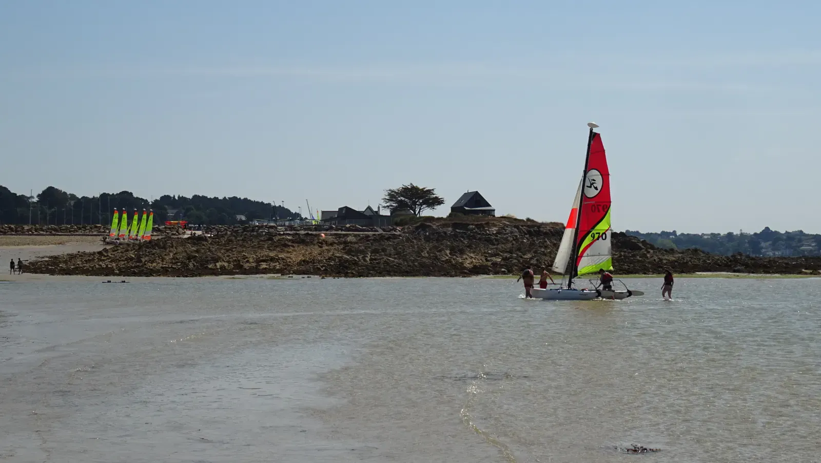
Terenez is a small rocky headland in the Baie de Morlaix, on the eastern side of Plougasnou commune, less than 10 minutes from the village. A renowned windsurfing and kitesurf spot — not for waves but for wind quality and the exceptional setting. The sailing school (École de Voile) is very active in summer and now offers wingfoil lessons since 2024. Their rescue boats provide additional safety on the water. Crêperie and bar-restaurant on site.
Spot forecast for Terenez - Plougasnou (Morlaix Bay)
Sunrise 07:50 · Sunset 18:07
Forecasts provided by Open-Meteo
Tides
Heights above lowest astronomical tide, in the spot's local time. Computed 2.1 km from the spot.
- Sunday 25 October Low tide · 1.3 m High tide · 8.3 m Low tide · 1.3 m High tide · 8.6 m Low tide · 0.9 m
- Monday 26 October High tide · 8.7 m Low tide · 0.9 m High tide · 8.9 m
- Tuesday 27 October Low tide · 0.7 m High tide · 8.9 m Low tide · 0.7 m High tide · 8.9 m
- Wednesday 28 October Low tide · 0.7 m High tide · 8.9 m Low tide · 0.7 m High tide · 8.8 m
- Thursday 29 October Low tide · 1 m High tide · 8.7 m Low tide · 1 m High tide · 8.4 m
Terenez - Plougasnou (Morlaix Bay): when to go?
Rideable days and hours computed for a minimum wind of 7 knots · log in to set your own (foil, twin-tip…)
264h
in June · 22.5 rideable days
The season runs from April to June, peaking in June: 19 rideable days a month and 264 hours of usable wind, at 16 °C. The low point is March, at 12 days.
Kiting is forbidden here from 01/07 to 31/08. Juillet-août : école de voile active — présence de dériveurs et bateaux de sécu. Marée haute grands coefs : plage < 20m de large. Rochers à identifier impérativement.
Rideable days per month
Wind strength when it is rideable
When the spot works, wind sits mostly between 7 and 12 knots — 61% of rideable hours. Big-kite territory. The coldest month is January, at 9 °C. The wettest month is January, with 162 mm.
Monthly averages: Terenez - Plougasnou (Morlaix Bay)
| Month | Rideable days | Usable wind | Temperature | Rain |
|---|---|---|---|---|
| January | 12.5 | 92 h | 9 °C | 162 mm |
| February | 17.0 | 147 h | 11 °C | 74 mm |
| March | 12.0 | 128 h | 12 °C | 48 mm |
| April | 17.0 | 154 h | 14 °C | 50 mm |
| May | 16.0 | 192 h | 16 °C | 31 mm |
| June | 22.5 | 264 h | 19 °C | 34 mm |
| July closed | 24.5 | 316 h | 20 °C | 34 mm |
| August closed | 23.5 | 218 h | 21 °C | 33 mm |
| September | 20.5 | 196 h | 18 °C | 44 mm |
| October | 14.0 | 130 h | 16 °C | 56 mm |
| November | 13.5 | 112 h | 14 °C | 76 mm |
| December | 12.5 | 104 h | 11 °C | 76 mm |
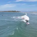
Photo gallery of Terenez - Plougasnou (Morlaix Bay)
Technical details of Terenez - Plougasnou (Morlaix Bay) spot
The spot works with winds from W, WNW, NW, NNW.
Depending on conditions: N, SW, WSW.
Local association recommendations
École de Voile de Terenez — sailing, wingfoil lessons on site (summer). Info: onekite.com/topic/15771 (summer 2024 report).
Spot functioning
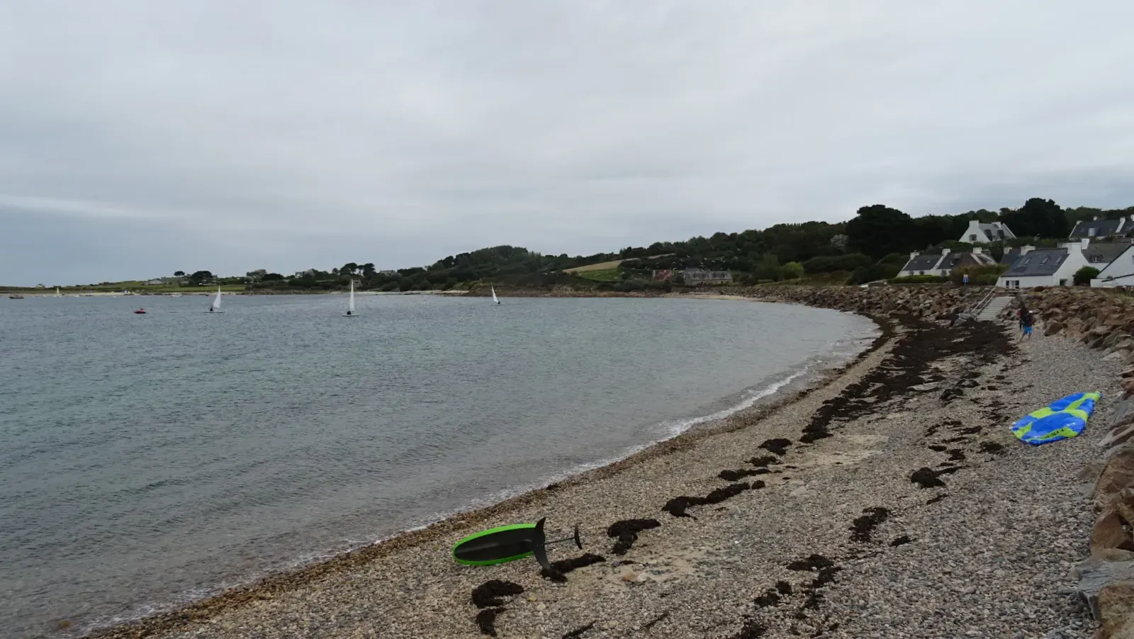
About 30 parking spaces directly on the spot — plan around sailing school activity (school starts and ends with parents picking up children). At low tide the cove empties (wet sand) — easiest for rigging and launching. At high tide (especially spring tides) the beach width can drop below 20 metres. Launch from beach only, downwind of the dyke — wind shadow under the dyke then improves quickly in the channel. Do not approach the rocks extending from the headland to the left, nor the rocks towards Saint-Samson beach to the north. In summer: no riding restrictions despite the sailing school presence. No bathing surveillance.
Spot opening date · Required level
- Spot opening date
- Open all year round
Open all year. No navigation restrictions despite sailing school activity in summer. No supervised swimming zone. Best season: summer/autumn for consistent NW wind.
- Required level
- Advanced
On the water
The small cove faces northwest — northwest wind is cross-onshore. West-southwest and southwest arrive offshore (stronger and gustier due to terrain). North works but is disturbed by surrounding relief (plateau at 60m altitude). Choppy water in the channel and bay. Many shallows and currents in the bay — stay aware when riding far from shore. Sailing school security boats and motor boats, mooring buoys, lobster pot markers.
Parking
~30 spaces directly on the spot. Anticipate sailing school pick-up/drop-off times during summer (parents arriving before and after classes). No size restriction.
Wind specificities
In summer, the dominant wind is NW (W-NNW quadrant) — this is the main configuration. The 250m beach is relatively short: in onshore configuration it can be difficult to get clear of the shore. N wind also works but is disrupted by the surrounding relief (plateau at 60m altitude). SW/WSW: usually offshore on this coast — wind from land, gustier and stronger. Wind shadow under the sea wall at the start, then improves once in the channel axis. Possible to cover a good part of the bay in good conditions.
Hazards
Shingle/pebble beach. At high tide with big coefficients: beach width under 20m — very limited space. Rocks extending from the headland on the left (south) and toward Saint-Samson beach (north) — immersed at high tide, must be identified before riding. Sailing school dinghies and motor boats in the channel during summer. Mooring buoys and lobster pot buoys in the bay. Shallow areas and tidal currents further out in the bay.
Something out of date? Suggest an edit
Live
Pilotage9.7 kmsource gowind
Readings reserved for Premium members
Readings from Pilotage weather station are reserved for Premium members.
- Real-time readings
- Last 48 hours history
- Custom alerts
- Extended weather forecasts
Already a Premium member? Log in
Additional stations
-
BATZ14.1 km
Readings reserved for Premium members
source meteofrance
-
MORLAIX/PLOUJEAN TG8.9 km
Readings reserved for Premium members
source madis - NOAA
All the details of your session on windtracker.app
Webcams near Terenez - Plougasnou (Morlaix Bay)
Webcams provided by Windy.com
Schools, shops and places to stay nearby
Directory: France


Nearby spots
All spots: BretagneComments 0
No comments yet.