
The site has just been updated: reload the page to get everything working again.
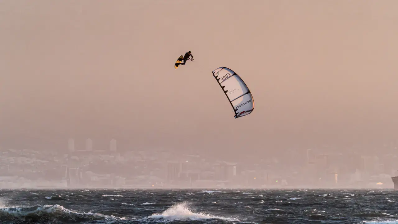
Harrop; Kootenay Lake kitesurf and wingfoil spot
Canada · British Columbia
Overview
Harrop sits on the west shore of Kootenay Lake, a massive 104 km N-S oriented lake in the Kootenays, in southeastern BC. The lake is framed by the Selkirk and Purcell mountains, creating a powerful funnelling effect for wind. Southerly wind is dominant in summer. Spectacular and wild mountain scenery. The lake can partially freeze in winter in the northern arms.
Spot forecast for Harrop; Kootenay Lake
Sunrise 07:18 · Sunset 17:47
Forecasts provided by Open-Meteo
Harrop; Kootenay Lake: when to go?
Rideable days and hours computed for a minimum wind of 7 knots · log in to set your own (foil, twin-tip…)
4h
in April · 0.5 rideable days
Wind is uneven from month to month: the best months are November, February and April, at 1 rideable days and 8 °C. The low point is January, at 0 days.
Rideable days per month
Wind strength when it is rideable
When the spot works, wind sits mostly between 7 and 12 knots — 100% of rideable hours. Big-kite territory. The coldest month is January, at 0 °C. The wettest month is November, with 52 mm.
Monthly averages: Harrop; Kootenay Lake
| Month | Rideable days | Usable wind | Temperature | Rain |
|---|---|---|---|---|
| January | 0.0 | 4 h | 0 °C | 10 mm |
| February | 0.5 | 5 h | 3 °C | 14 mm |
| March | 0.0 | 4 h | 9 °C | 16 mm |
| April | 0.5 | 4 h | 15 °C | 17 mm |
| May | 0.5 | 3 h | 20 °C | 23 mm |
| June | 0.0 | 1 h | 24 °C | 38 mm |
| July | 0.0 | 0 h | 30 °C | 22 mm |
| August | 0.0 | 1 h | 28 °C | 4 mm |
| September | 0.0 | 1 h | 25 °C | 5 mm |
| October | 0.0 | 2 h | 13 °C | 32 mm |
| November | 1.0 | 5 h | 5 °C | 52 mm |
| December | 0.0 | 3 h | 3 °C | 50 mm |
Photo gallery of Harrop; Kootenay Lake
Ridden here? One photo or video, and the spot comes alive for everyone discovering it.
Technical details of Harrop; Kootenay Lake spot
The spot works with winds from N, NNE, SSE, S, SSW, NNW.
Spot opening date · Required level
- Spot opening date
- Open all year round
- Required level
- Advanced
On the water
Fresh water. Flat to rough water depending on wind. Excellent fetch along the N-S lake axis (over 50 km). Pebble and rock bottom. Cold water (12-18°C in summer — glacier-fed mountain lake). Chop can become significant in sustained wind.
Hazards
Lake can become very rough quickly — 1m+ waves possible in sustained wind. Remote area — rescue services very far. Cold water (full wetsuit required). Floating logs. No cell coverage in some areas. Wind can be very gusty in the mountain corridor.
Something out of date? Suggest an edit
Live
Queens Bay elevation BC CA BCHYDRO8.4 kmsource madis - NOAA
Readings reserved for Premium members
Readings from Queens Bay elevation BC CA BCHYDRO weather station are reserved for Premium members.
- Real-time readings
- Last 48 hours history
- Custom alerts
- Extended weather forecasts
Already a Premium member? Log in
Additional stations
-
QUEENS BAY BC8.4 km
Readings reserved for Premium members
source madis - NOAA
-
REDFISH CREEK9.3 km
Readings reserved for Premium members
source madis - NOAA
All the details of your session on windtracker.app
Webcams near Harrop; Kootenay Lake
Webcams provided by Windy.com
Nearby spots
All spots: British Columbia- 90 km Moyie LakeBritish Columbia, Canada
- 107 km Canal Flats / Columbia LakeColombie-Britannique, Canada
- 153 km Sandpoint City Beach ParkIdaho, United States
- 174 km Kal Beach / Kalamalka LakeBritish Columbia, Canada
- 178 km okanagan lake | rotary beachBritish Columbia, Canada
- 179 km lake koocanusaMontana, United States
Comments 0
No comments yet.