
The site has just been updated: reload the page to get everything working again.
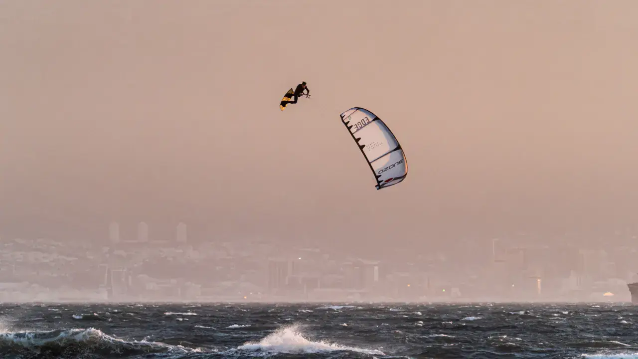
Harkers Island / Shell Point kitesurf, wingfoil and windsurf spot
United States · North Carolina
Overview
Harkers Island / Shell Point is a spot on Harkers Island, connected to the mainland by a bridge, facing the Core Banks and Cape Lookout. Shell Point at the island's eastern tip offers access to the shallow waters of Core Sound and Back Sound. It's the departure point for ferries to Cape Lookout. The body of water is sheltered and shallow, good for flat water kitesurfing. The area is tide-influenced (unlike Pamlico Sound further north). Harkers Island is a traditional fishing community with rich maritime culture.
Spot forecast for Harkers Island / Shell Point
Sunrise 07:16 · Sunset 18:25
Next tides
- High tide · 1 m
- Low tide · 0.5 m
- High tide · 1.2 m
- Low tide · 0.4 m
Forecasts provided by Open-Meteo
Harkers Island / Shell Point: when to go?
Rideable days and hours computed for a minimum wind of 7 knots · log in to set your own (foil, twin-tip…)
341h
in March · 30 rideable days
The spot works year-round: 28 rideable days a month on average, at 21 °C. It peaks in March, with 341 hours of usable wind.
Rideable days per month
Wind strength when it is rideable
When the spot works, wind sits mostly between 7 and 12 knots — 80% of rideable hours. Big-kite territory. The coldest month is January, at 11 °C. The wettest month is August, with 303 mm.
Monthly averages: Harkers Island / Shell Point
| Month | Rideable days | Usable wind | Temperature | Rain |
|---|---|---|---|---|
| January | 28.5 | 267 h | 11 °C | 49 mm |
| February | 24.0 | 254 h | 13 °C | 39 mm |
| March | 30.0 | 341 h | 18 °C | 185 mm |
| April | 30.0 | 368 h | 21 °C | 20 mm |
| May | 29.0 | 331 h | 25 °C | 129 mm |
| June | 28.5 | 340 h | 28 °C | 92 mm |
| July | 28.5 | 361 h | 30 °C | 173 mm |
| August | 29.5 | 296 h | 28 °C | 303 mm |
| September | 26.5 | 291 h | 26 °C | 290 mm |
| October | 27.0 | 274 h | 22 °C | 63 mm |
| November | 25.0 | 248 h | 18 °C | 18 mm |
| December | 27.5 | 250 h | 13 °C | 113 mm |
Photo gallery of Harkers Island / Shell Point
Ridden here? One photo or video, and the spot comes alive for everyone discovering it.
Technical details of Harkers Island / Shell Point spot
The spot works with winds from N, NNE, NE, ENE, E, ESE, SE, SSE, S, SSW, SW, WSW, W, WNW, NW, NNW.
Spot opening date · Required level
- Spot opening date
- Open all year round
- Required level
- Intermediate
On the water
Flat to slightly choppy water on Core Sound / Back Sound. Depth varies with tide — generally deeper than Pamlico Sound. Sandy bottom with shells (hence the name Shell Point). Conditions are good for freeride and freestyle. Moderate tidal current to expect. Sandbars emerge at low tide.
Hazards
Moderate tidal current — the area is tide-influenced. Sharp shells and oyster shells — water shoes essential. Stingrays. Jellyfish in summer. Maritime traffic (Cape Lookout ferries, fishing boats). Afternoon thunderstorms possible in summer.
Something out of date? Suggest an edit
Live
Beaufort Smith Field12.9 kmsource noaa
Readings reserved for Premium members
Live readings from Beaufort Smith Field weather station are reserved for Premium members.
- Real-time readings
- Last 48 hours history
- Custom alerts
- Extended weather forecasts
Already a Premium member? Log in
Additional stations
-
Michael J. Smith Field Airport12.9 km
Readings reserved for Premium members
source aviationweather.gov
-
Beaufort, NC NWLON13.5 km
Readings reserved for Premium members
source madis - NOAA
All the details of your session on windtracker.app
Webcams near Harkers Island / Shell Point
Webcams provided by Windy.com
Nearby spots
All spots: North Carolina- 9 km Cape LookoutNorth Carolina, United States
- 14 km Bird ShoalCaroline du Nord, United States
- 16 km Fort MaconCaroline du Nord, United States
- 19 km Atlantic BeachNorth Carolina, United States
- 24 km Mitchell Village ParkNorth Carolina, United States
- 35 km Salter Path / Emerald IsleNorth Carolina, United States
Comments 0
No comments yet.