
The site has just been updated: reload the page to get everything working again.
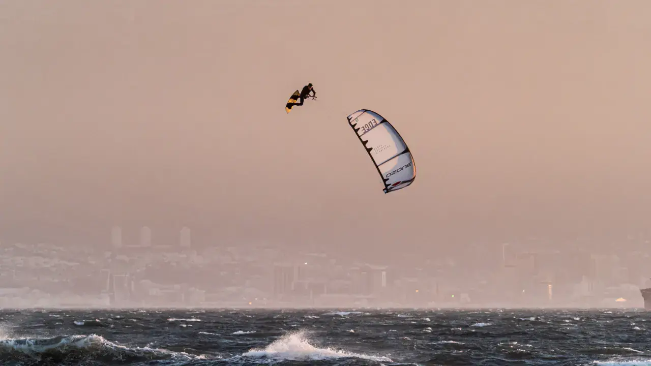
Sacramento Ship Channel kitesurf and wingfoil spot
United States · California
Overview
Sacramento Ship Channel is a kitesurfing spot located in California's Central Valley, near Sacramento. This man-made channel offers a calm, flat water body ideal for freeriding and progressing beginners. Delta thermal winds blow reliably in summer, primarily from the southwest, creating consistent late afternoon conditions. It is a convenient freshwater spot accessible for riders in the Sacramento area.
Spot forecast for Sacramento Ship Channel
Sunrise 07:20 · Sunset 18:21
Forecasts provided by Open-Meteo
Sacramento Ship Channel: when to go?
Rideable days and hours computed for a minimum wind of 7 knots · log in to set your own (foil, twin-tip…)
194h
in July · 24 rideable days
The season runs from May to August, peaking in July: 21 rideable days a month and 194 hours of usable wind, at 32 °C. The low point is October, at 5 days.
Rideable days per month
Wind strength when it is rideable
When the spot works, wind sits mostly between 7 and 12 knots — 89% of rideable hours. Big-kite territory. The coldest month is December, at 12 °C. The wettest month is November, with 160 mm.
Monthly averages: Sacramento Ship Channel
| Month | Rideable days | Usable wind | Temperature | Rain |
|---|---|---|---|---|
| January | 6.5 | 52 h | 14 °C | 37 mm |
| February | 10.0 | 87 h | 15 °C | 121 mm |
| March | 15.5 | 125 h | 17 °C | 39 mm |
| April | 11.5 | 83 h | 23 °C | 13 mm |
| May | 19.0 | 147 h | 28 °C | 8 mm |
| June | 23.0 | 184 h | 31 °C | 0 mm |
| July | 24.0 | 194 h | 34 °C | 0 mm |
| August | 19.5 | 123 h | 34 °C | 0 mm |
| September | 12.0 | 98 h | 31 °C | 1 mm |
| October | 5.0 | 38 h | 26 °C | 29 mm |
| November | 7.0 | 49 h | 16 °C | 160 mm |
| December | 8.5 | 69 h | 12 °C | 75 mm |
Photo gallery of Sacramento Ship Channel
Ridden here? One photo or video, and the spot comes alive for everyone discovering it.
Technical details of Sacramento Ship Channel spot
The spot works with winds from SSE, S, SSW, SW, W, WNW.
Spot opening date · Required level
- Spot opening date
- Open all year round
- Required level
- Intermediate
On the water
Flat channel-style water body with very little chop. Freshwater and warm in summer (20-25°C/68-77°F), allowing riding in a shorty or rashguard. The bottom is muddy and gradually deepening. The channel is wide enough for comfortable riding. Minimal current except after heavy rains.
Hazards
Commercial ship traffic in the main channel — stay clear of large vessels. Power lines crossing the channel at certain points. Extreme summer heat in the Central Valley (40°C+/104°F+), risk of dehydration. Winds can be gusty with thermal gusts. Possible submerged objects in the murky water.
Something out of date? Suggest an edit
Live
West Sacramento3.1 kmsource noaa
Readings reserved for Premium members
Readings from West Sacramento weather station are reserved for Premium members.
- Real-time readings
- Last 48 hours history
- Custom alerts
- Extended weather forecasts
Already a Premium member? Log in
Additional stations
-
Hwy 80 at West Capitol4.3 km
Readings reserved for Premium members
source noaa
-
Sacramento Executive Airport8.2 km
Readings reserved for Premium members
source noaa
All the details of your session on windtracker.app
Webcams near Sacramento Ship Channel
Webcams provided by Windy.com
Nearby spots
All spots: California- 44 km Folsom PointCalifornie, United States
- 52 km Powerlines / Sherman IslandCalifornia, United States
- 53 km Cable Crossing / Sherman IslandCalifornia, United States
- 55 km Little Baja / Sherman IslandCalifornie, United States
- 56 km County Park / Sherman IslandCalifornia, United States
- 57 km Dr Nick's Spinner IslandCalifornie, United States
Comments 0
No comments yet.