
The site has just been updated: reload the page to get everything working again.
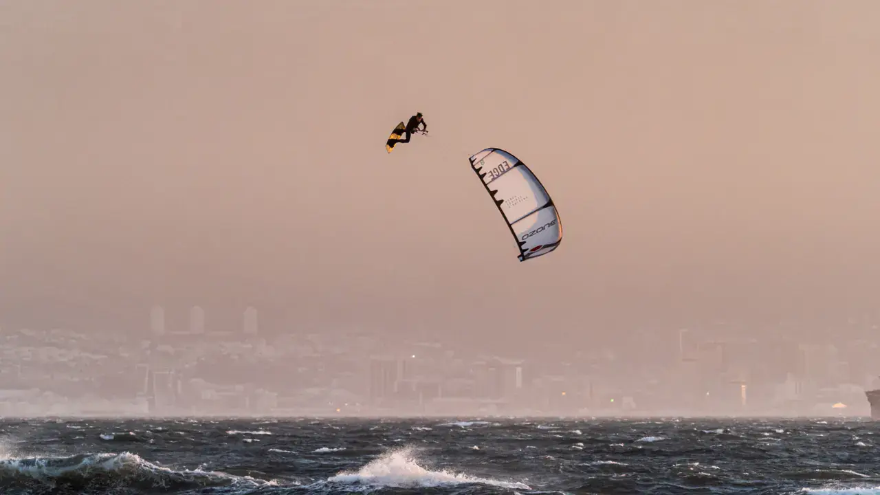
Sipacate kitesurf and surf spot
Guatemala · Escuintla Department
Overview
- Surf
- Kitesurf
Sipacate is a kitesurfing spot located on Guatemala's Pacific coast, in the Escuintla department. The spot is within the Sipacate-El Naranjo national park, offering a preserved natural setting with mangroves and an estuary.
Conditions are suited for intermediate kitesurfers. The prevailing wind comes from the northeast (offshore) during the dry season (November to April), creating wave conditions with side-offshore wind. The water is warm (around 29°C) and waves can be present on the ocean.
The volcanic black sand beach is typical of Guatemala's Pacific coast. The spot is accessible from Guatemala City in about 2 hours by road.
Spot forecast for Sipacate
Sunrise 05:56 · Sunset 17:42
Forecasts provided by Open-Meteo
Tides
Heights above lowest astronomical tide, in the spot's local time. Computed 5.7 km from the spot.
- Tuesday 20 October Low tide · 0.8 m High tide · 1.6 m Low tide · 0.7 m High tide · 1.5 m
- Wednesday 21 October Low tide · 0.8 m High tide · 1.5 m Low tide · 0.7 m High tide · 1.6 m
- Thursday 22 October Low tide · 0.7 m High tide · 1.5 m Low tide · 0.6 m High tide · 1.7 m
- Friday 23 October Low tide · 0.6 m High tide · 1.6 m Low tide · 0.6 m
- Saturday 24 October High tide · 1.8 m Low tide · 0.5 m High tide · 1.6 m Low tide · 0.5 m
Sipacate: when to go?
Rideable days and hours computed for a minimum wind of 7 knots · log in to set your own (foil, twin-tip…)
4h
in September · 1 rideable days
The season runs from August to October, peaking in September: 1 rideable days a month and 4 hours of usable wind, at 31 °C. The low point is January, at 0 days.
Rideable days per month
Wind strength when it is rideable
When the spot works, wind sits mostly between 7 and 12 knots — 95% of rideable hours. Big-kite territory. The coldest month is June, at 30 °C. The wettest month is June, with 549 mm.
Monthly averages: Sipacate
| Month | Rideable days | Usable wind | Temperature | Rain |
|---|---|---|---|---|
| January | 0.0 | 1 h | 33 °C | 2 mm |
| February | 0.0 | 1 h | 33 °C | 12 mm |
| March | 0.0 | 0 h | 33 °C | 13 mm |
| April | 0.0 | 1 h | 34 °C | 64 mm |
| May | 0.0 | 2 h | 33 °C | 113 mm |
| June | 0.5 | 5 h | 30 °C | 549 mm |
| July | 0.0 | 2 h | 32 °C | 184 mm |
| August | 0.5 | 3 h | 32 °C | 232 mm |
| September | 1.0 | 4 h | 30 °C | 266 mm |
| October | 1.0 | 5 h | 30 °C | 260 mm |
| November | 0.0 | 1 h | 31 °C | 157 mm |
| December | 0.0 | 1 h | 32 °C | 29 mm |
Photo gallery of Sipacate
Ridden here? One photo or video, and the spot comes alive for everyone discovering it.
Technical details of Sipacate spot
The spot works with winds from N, NNE, NE.
Depending on conditions: ENE, E, NW, NNW.
Spot opening date · Required level
- Spot opening date
- Open all year round
- Required level
- Intermediate
Something out of date? Suggest an edit
Live
Currently, there is no weather station at this spot. If you want to change this, help us fund one: Weather Station Project
All the details of your session on windtracker.app
Webcams near Sipacate
Webcams provided by Windy.com
Nearby spots
All spots: Guatemala- 82 km Lago Atitlan | Isla de los Gatos2aSololá, Guatemala
- 87 km Amatitlan LakeDépartement de Guatemala, Guatemala
- 122 km Barra de SantiagoAhuachapán Department, El Salvador
- 176 km Guija - flat waterJutiapa, Guatemala
- 182 km Lago de GuijaSanta Ana, El Salvador
- 228 km Lago IlopangoDépartement de San Salvador, El Salvador
Comments 0
No comments yet.