
The site has just been updated: reload the page to get everything working again.
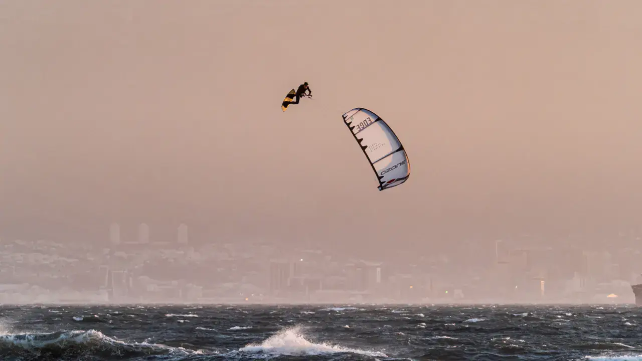
Necker Island kitesurf, wingfoil and paddle spot
British Virgin Islands · Virgin Gorda
Overview
Spot forecast for Necker Island
Sunrise 06:12 · Sunset 17:51
Forecasts provided by Open-Meteo
Necker Island: when to go?
Rideable days and hours computed for a minimum wind of 7 knots · log in to set your own (foil, twin-tip…)
432h
in May · 31 rideable days
The spot works year-round: 29 rideable days a month on average, at 28 °C. It peaks in May, with 432 hours of usable wind.
Rideable days per month
Wind strength when it is rideable
When the spot works, wind sits mostly between 13 and 20 knots — 60% of rideable hours. That is the most versatile range, where most kites work. The coldest month is January, at 26 °C. The wettest month is November, with 178 mm.
Monthly averages: Necker Island
| Month | Rideable days | Usable wind | Temperature | Rain |
|---|---|---|---|---|
| January | 28.5 | 366 h | 26 °C | 25 mm |
| February | 24.5 | 330 h | 26 °C | 86 mm |
| March | 27.5 | 338 h | 26 °C | 39 mm |
| April | 29.5 | 375 h | 26 °C | 116 mm |
| May | 31.0 | 432 h | 28 °C | 114 mm |
| June | 29.5 | 431 h | 29 °C | 57 mm |
| July | 31.0 | 463 h | 29 °C | 88 mm |
| August | 29.0 | 419 h | 29 °C | 137 mm |
| September | 26.5 | 344 h | 29 °C | 115 mm |
| October | 25.5 | 296 h | 29 °C | 134 mm |
| November | 28.5 | 338 h | 28 °C | 178 mm |
| December | 31.0 | 378 h | 27 °C | 53 mm |
Photo gallery of Necker Island
Ridden here? One photo or video, and the spot comes alive for everyone discovering it.
Technical details of Necker Island spot
The spot works with winds from NNE, NE, ENE, E.
Depending on conditions: N, ESE, SE.
Spot opening date · Required level
- Spot opening date
- Open all year round
- Required level
- Intermediate
Something out of date? Suggest an edit
Live
Terrance B. Lettsome Airport21.5 kmsource aviationweather.gov
Readings reserved for Premium members
Live readings from Terrance B. Lettsome Airport weather station are reserved for Premium members.
- Real-time readings
- Last 48 hours history
- Custom alerts
- Extended weather forecasts
Already a Premium member? Log in
Additional stations
-
British Virgin Islands Tortola DDM29.6 km
Readings reserved for Premium members
source noaa
-
BEEF ISLAND, TORTOLA20.4 km
Readings reserved for Premium members
source WIS2 - WMO
All the details of your session on windtracker.app
Webcams near Necker Island
Webcams provided by Windy.com
Nearby spots
All spots: Virgin Gorda- 2 km eustacia island beachVirgin Gorda, British Virgin Islands
- 3 km Virgin Gorda | North Sound36Virgin Gorda, British Virgin Islands
- 22 km anegada | pomato pointAnegada, British Virgin Islands
- 22 km anegada | the settlementAnegada, British Virgin Islands
- 22 km Long Bay TortolaBritish Virgin Islands
- 23 km Red Rock SlickTortola, British Virgin Islands
Comments 0
No comments yet.