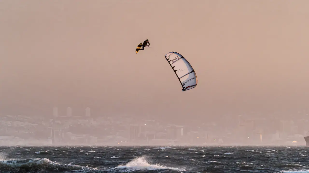
Hangover Bay kitesurf and wingfoil spot

Australia · Western Australia

Spot currently openIntermediate level -30.59 | 115.1

Overview

Hangover Bay is a kitesurfing spot located in Nambung National Park, in Western Australia, famous for the Pinnacles (limestone formations). This bay offers sailing conditions in a unique natural setting. The prevailing south to southwest winds blow side-shore. The bay offers some protection with conditions suitable for intermediate riders. Summer thermal breezes are consistent along this coast. Access is through the national park. The spot is remote with no nearby services. Beware of reefs and rocks in the bay. Take the opportunity to visit the Pinnacles.
Suggest an edit

Spot forecast for Hangover Bay

Sunrise 05:35 · Sunset 18:33

Open-Meteo

Premium weather models. Get the professional models (ECMWF, GFS, ICON, MeteoSwiss…) and a 16-day forecast. Without a subscription: Open-Meteo over 5 days.

Go Premium

< 7 kn7–12 kn13–20 kn21–30 kn31–40 kn41+ kn Gusts Your minimum: 7 kn

Forecasts provided by Open-Meteo

Swell and waves

Swell and tides over 8 days. Premium members see the swell and tides over 8 days. Without a subscription: 5 days.

Go Premium

Wave height: < 0.5 m 0.5–1 m 1–2 m 2–3 m ≥ 3 m

Swell data by Open-Meteo Marine

Tides

Heights above lowest astronomical tide, in the spot's local time. Computed 3.9 km from the spot.

6:0012:0018:006:0012:0018:006:0012:0018:006:0012:0018:006:0012:0018:00Tue 20Wed 21Thu 22Fri 23Sat 24 Now00:580.6 m13:220.3 m05:020.5 m13:220.3 m21:020.5 m01:110.5 m06:240.5 m13:250.3 m20:150.5 m02:000.4 m07:370.5 m13:330.3 m20:070.6 m02:430.3 m08:520.5 m13:410.4 m20:170.6 m
  • Tuesday 20 October High tide · 0.6 m Low tide · 0.3 m
  • Wednesday 21 October High tide · 0.5 m Low tide · 0.3 m High tide · 0.5 m
  • Thursday 22 October Low tide · 0.5 m High tide · 0.5 m Low tide · 0.3 m High tide · 0.5 m
  • Friday 23 October Low tide · 0.4 m High tide · 0.5 m Low tide · 0.3 m High tide · 0.6 m
  • Saturday 24 October Low tide · 0.3 m High tide · 0.5 m Low tide · 0.4 m High tide · 0.6 m

Hangover Bay: when to go?

Rideable days and hours computed for a minimum wind of 7 knots · log in to set your own (foil, twin-tip…)

Season · peak

381h

in December · 29.5 rideable days

The season runs from September to March, peaking in December: 28 rideable days a month and 381 hours of usable wind, at 27 °C. The low point is June, at 10.5 days.

Rideable days per month

0 10 20 30 January: 29 rideable days J February: 28 rideable days F March: 27 rideable days M April: 21.5 rideable days A May: 18 rideable days M June: 10.5 rideable days10.5 d J July: 12 rideable days J August: 16 rideable days A September: 25.5 rideable days S October: 29 rideable days O November: 28.5 rideable days N December: 29.5 rideable days29.5 d D 0 10 20 30 January: 29 rideable days J February: 28 rideable days F March: 27 rideable days M April: 21.5 rideable days A May: 18 rideable days M June: 10.5 rideable days10.5 d J July: 12 rideable days J August: 16 rideable days A September: 25.5 rideable days S October: 29 rideable days O November: 28.5 rideable days N December: 29.5 rideable days29.5 d D

Wind strength when it is rideable

7-12 knots · 65%13-20 knots · 35%21-30 knots · under 1%

When the spot works, wind sits mostly between 7 and 12 knots — 65% of rideable hours. Big-kite territory. The coldest month is July, at 18 °C. The wettest month is July, with 149 mm.

Monthly averages: Hangover Bay
Monthly averages — Hangover Bay — averaged over 2 years of records — Weather data by Open-Meteo.com — How it is calculated
Month Rideable days Usable wind Temperature Rain
January 29.0 352 h 30 °C 3 mm
February 28.0 303 h 31 °C 8 mm
March 27.0 237 h 30 °C 14 mm
April 21.5 143 h 28 °C 24 mm
May 18.0 111 h 25 °C 43 mm
June 10.5 82 h 20 °C 126 mm
July 12.0 100 h 18 °C 149 mm
August 16.0 146 h 19 °C 114 mm
September 25.5 226 h 21 °C 46 mm
October 29.0 279 h 22 °C 34 mm
November 28.5 314 h 26 °C 23 mm
December 29.5 381 h 29 °C 3 mm

Photo gallery of Hangover Bay

This spot is waiting for its first images

Ridden here? One photo or video, and the spot comes alive for everyone discovering it.

Technical details of Hangover Bay spot

N: Not rideable NNE: Not rideable NE: Not rideable ENE: Not rideable E: Not rideable ESE: Not rideable SE: Depending on conditions SSE: Depending on conditions S: Rideable SSW: Rideable SW: Rideable WSW: Rideable W: Depending on conditions WNW: Not rideable NW: Not rideable NNW: Not rideable N E S W

The spot works with winds from S, SSW, SW, WSW.

Depending on conditions: SE, SSE, W.

RideableDepending on conditions Not rideable
Spot opening date · Required level
Spot opening date
Open all year round
Required level
Intermediate

Something out of date? Suggest an edit

Live

LANCELIN (DEFENCE)29.9 kmsource Bureau of Meteorology Australia

Readings reserved for Premium members

Live readings from LANCELIN (DEFENCE) weather station are reserved for Premium members.

  • Real-time readings
  • Last 48 hours history
  • Custom alerts
  • Extended weather forecasts
Discover Premium

Already a Premium member? Log in

All the details of your session on windtracker.app

Webcams near Hangover Bay

Webcams provided by Windy.com

Comments 0

No comments yet.

    Log in to comment

    Suggest a photo

    Accepted formats: JPEG, PNG, WebP, HEIC. 10 MB at most per photo.

    Suggest a video

    Your video suggestion will be reviewed by our team before being published. Thank you for your contribution!

    Paste the URL of your video from YouTube, Vimeo, Dailymotion, etc.

    Suggest sports for this spot

    Select the sports you think are practiced at this spot:

    Your proposal will be reviewed by our team before publication.

    Sports practiced

    Select all sports available at this spot

    Menu

    Explore

    Log in Sign up Français