
The site has just been updated: reload the page to get everything working again.
Fort Flagler / Marrowstone Island kitesurf spot
United States · Washington
Overview
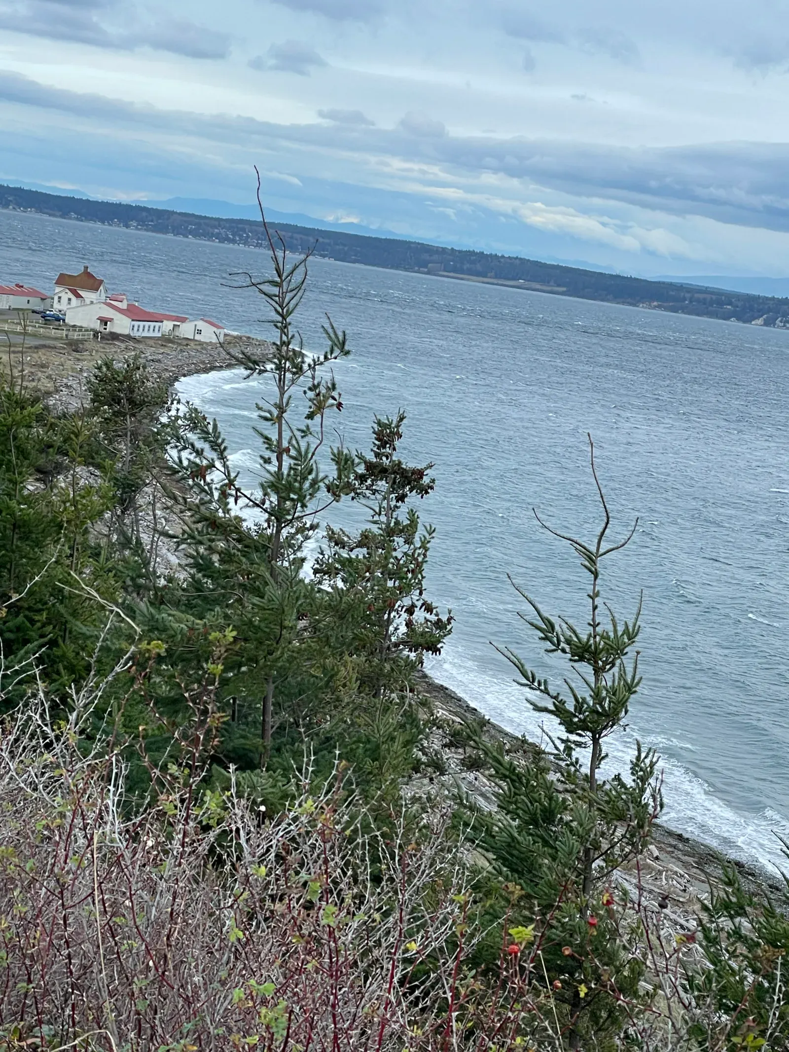
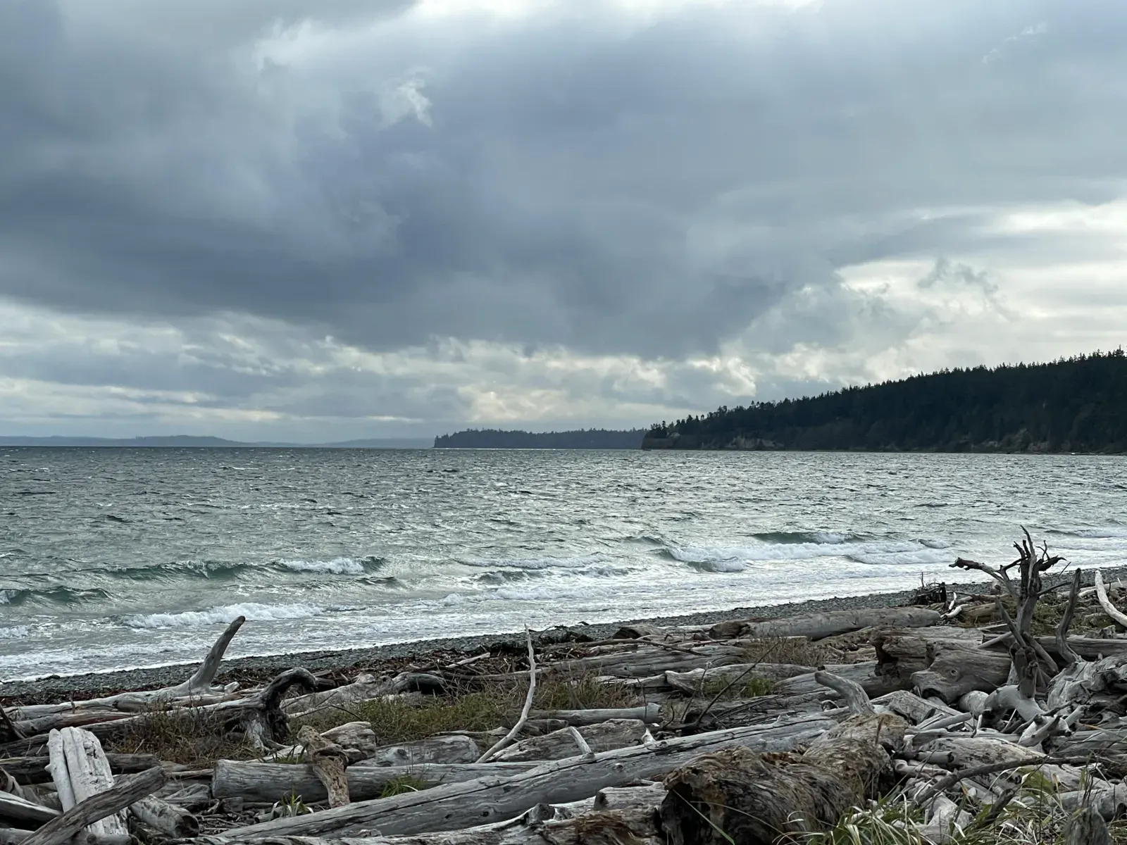
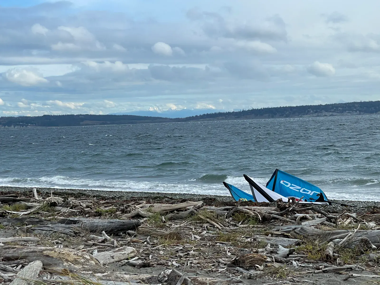
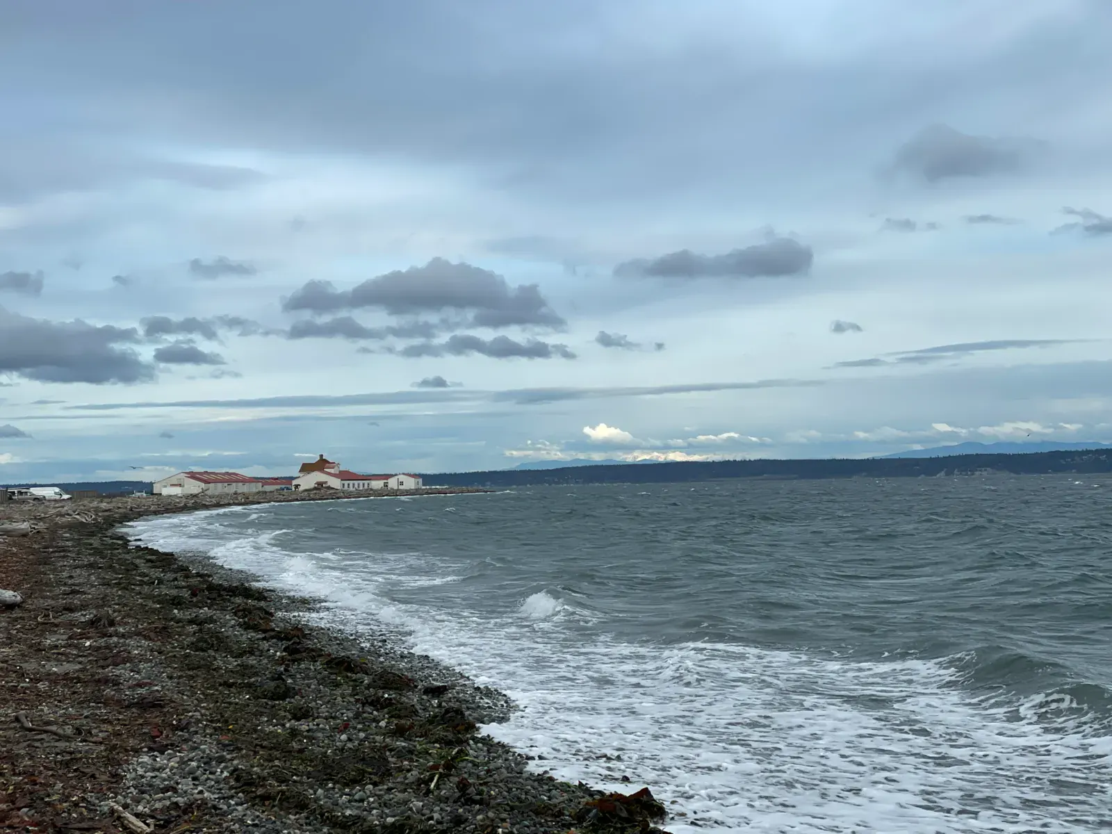
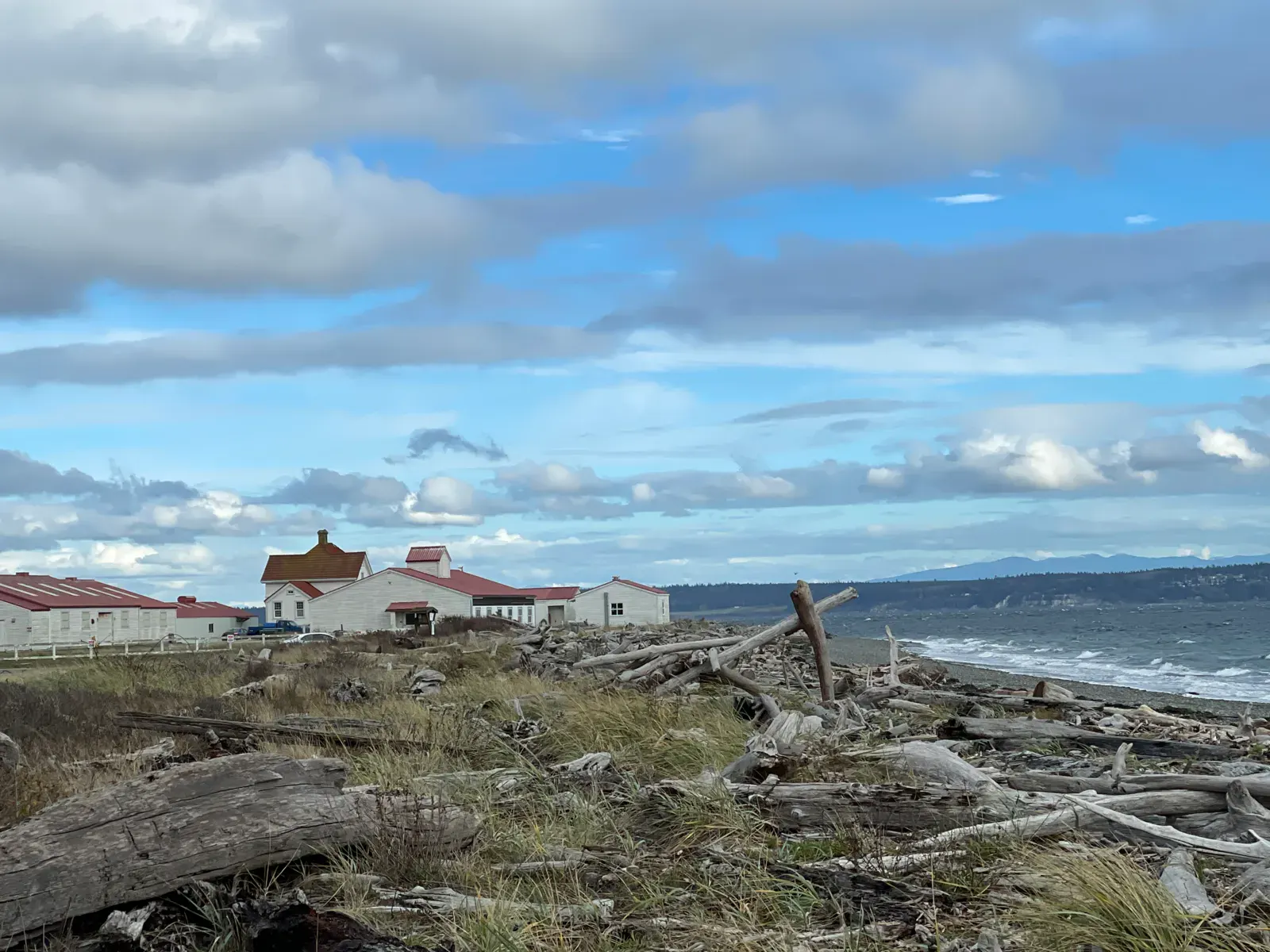
Fort Flagler, the beach next to the Marrowstone Point Lighthouse is a rocky beach most commonly used in the winter when the south winds prevails. Beach access at high tide can be challenging, walking over logs that have piled up at the high water mark on the beach.
Despite the remotness of the island, it is a favorite spot by the locals. When the south wind blows, this site is commonly the most consistent and has the strongest wind.
Access by road from the south in the Tacoma area is via highway 16 north bound. Best use your favorite online map for further guidance. From Seattle or any place north of Seattle, use the Edmonds to Kingston ferry, and again follow your GPS to the destination. A one way ticket on the ferry, depending on the size of your car, is about US$17. (2024)
Spot forecast for Fort Flagler / Marrowstone Island
Sunrise 07:38 · Sunset 18:12
Next tides
- High tide · 3.6 m
- Low tide · 1.6 m
- High tide · 3.6 m
- Low tide · 2.4 m
Forecasts provided by Open-Meteo
Fort Flagler / Marrowstone Island: when to go?
Rideable days and hours computed for a minimum wind of 7 knots · log in to set your own (foil, twin-tip…)
147h
in December · 19 rideable days
The season runs from October to April, peaking in December: 16 rideable days a month and 147 hours of usable wind, at 9 °C. The low point is July, at 2.5 days.
Rideable days per month
Wind strength when it is rideable
When the spot works, wind sits mostly between 7 and 12 knots — 45% of rideable hours. Big-kite territory. The coldest month is January, at 7 °C. The wettest month is October, with 99 mm.
Monthly averages: Fort Flagler / Marrowstone Island
| Month | Rideable days | Usable wind | Temperature | Rain |
|---|---|---|---|---|
| January | 15.0 | 124 h | 7 °C | 32 mm |
| February | 17.0 | 134 h | 7 °C | 41 mm |
| March | 18.5 | 174 h | 8 °C | 38 mm |
| April | 12.5 | 89 h | 10 °C | 20 mm |
| May | 8.0 | 47 h | 11 °C | 24 mm |
| June | 6.5 | 37 h | 12 °C | 20 mm |
| July | 2.5 | 11 h | 14 °C | 3 mm |
| August | 6.5 | 43 h | 14 °C | 19 mm |
| September | 4.5 | 38 h | 13 °C | 31 mm |
| October | 15.5 | 123 h | 11 °C | 99 mm |
| November | 17.5 | 128 h | 10 °C | 65 mm |
| December | 19.0 | 147 h | 8 °C | 71 mm |
Photo gallery of Fort Flagler / Marrowstone Island
Technical details of Fort Flagler / Marrowstone Island spot
The spot works with winds from SSE, S, SSW.
Spot opening date · Required level
- Spot opening date
- Open all year round
The spot is open all year around, use depends on the wind. Locals use the site most commonly during the fall and winter with southerly winds.
- Required level
- Beginner
On the water
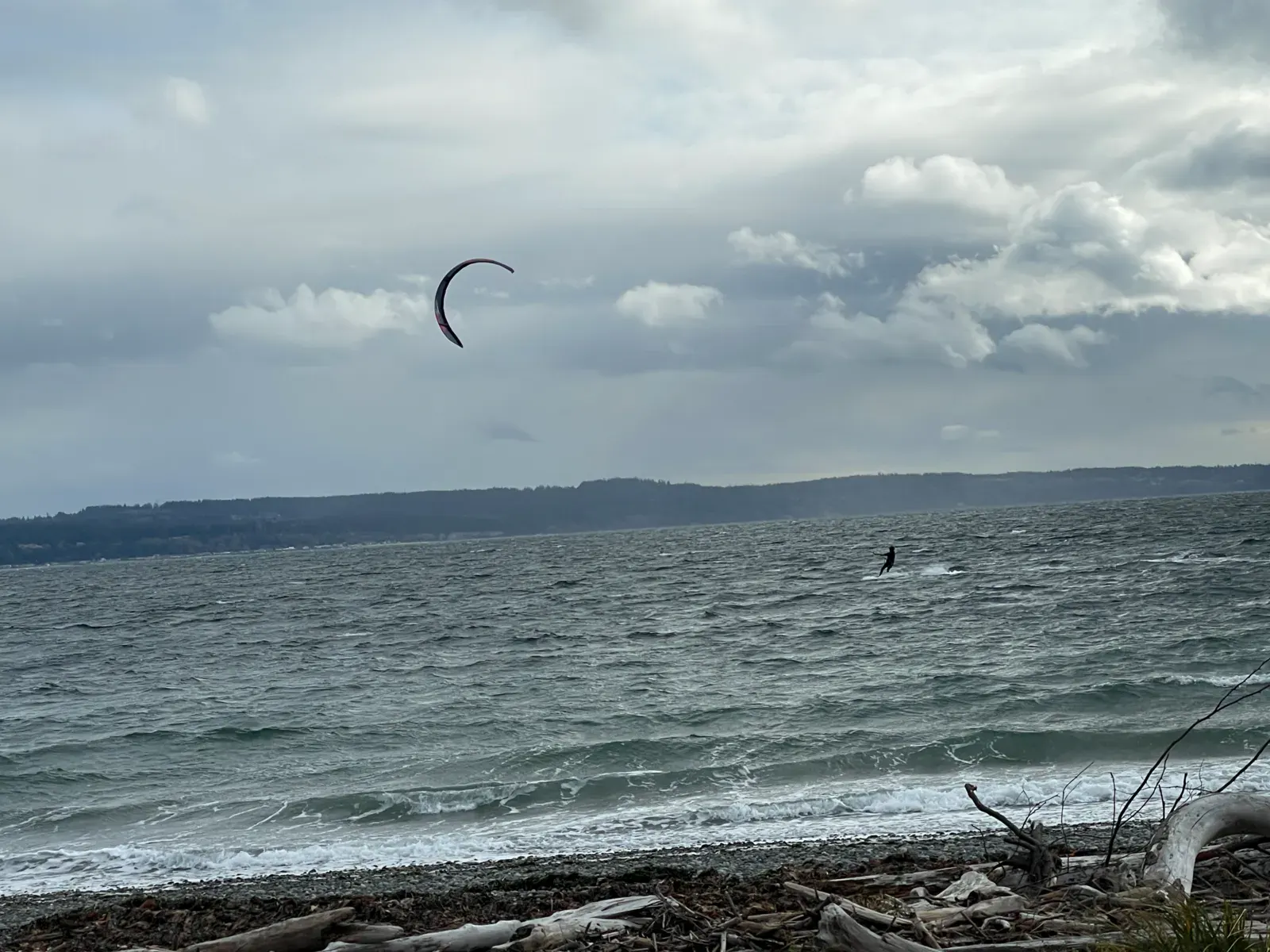
Riding in Puget Sound with cold saltwater (7-13°C/45-55°F). A 5/3mm wetsuit with hood and gloves recommended in winter. Strong tidal currents around Marrowstone Point. Rocky bottom with some sandy areas. No particular hazards in the water apart from currents.
Parking
Parking pass required. This is a Washington State Park, a valid state park pass or a Discover Pass has to be displayed. A day pass can be purchased at the kiosk next to the boat ramp for US$10 (2024)
Hazards
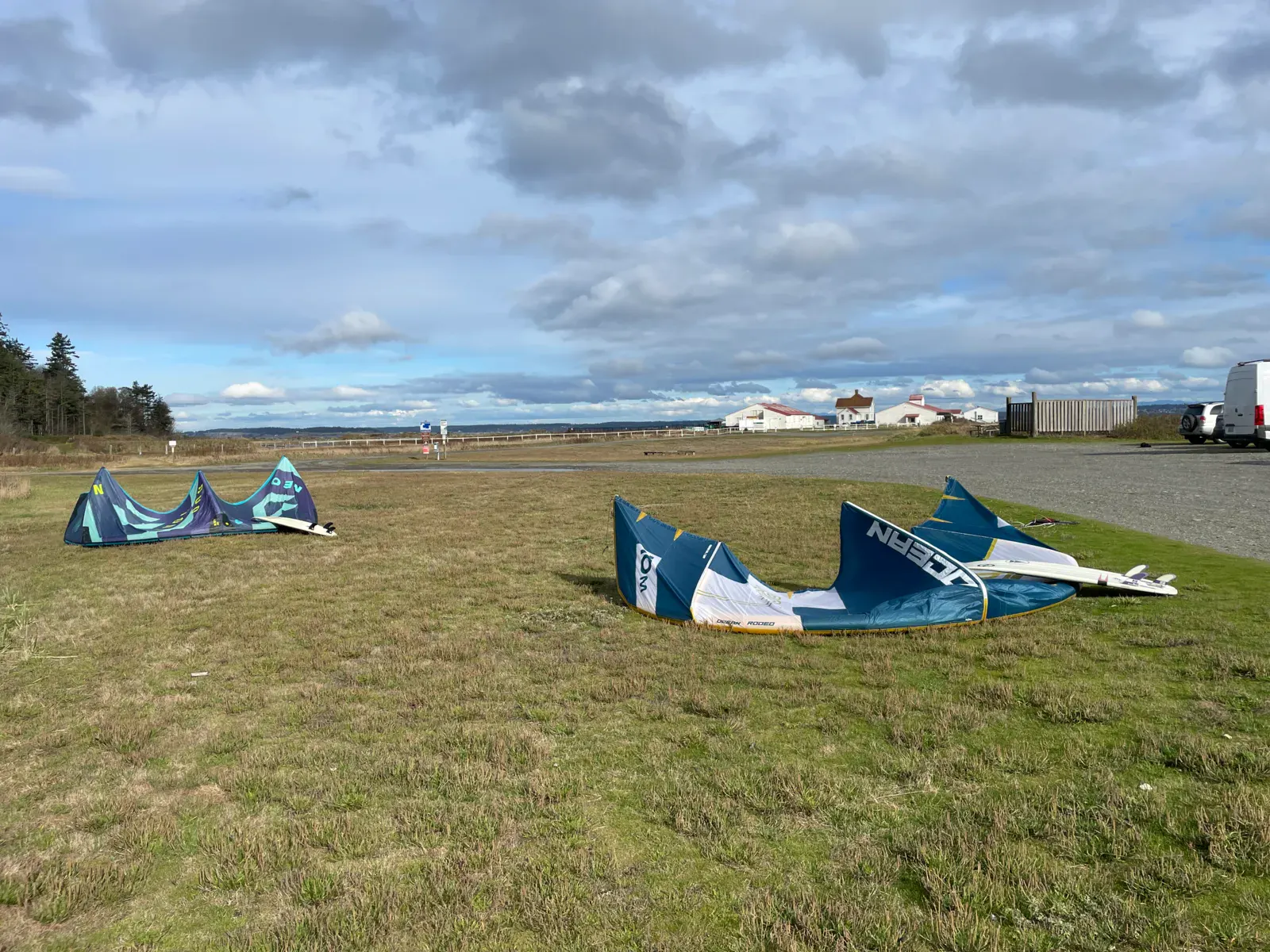
Be careful when launching the kite on the grass and then walking over the logs to the water. Frontal winds are gusty and unpredictable. There are no dangers in the water, however, like all the kite spots in the Puget Sound, strong tide currents can make kiting upwind a challenge. Avoid getting north of the light house, strong currents will flush you around the point into the windshadow and you may not be able to get back to the beach.
Tide chart can be found here: Marrowstone Point
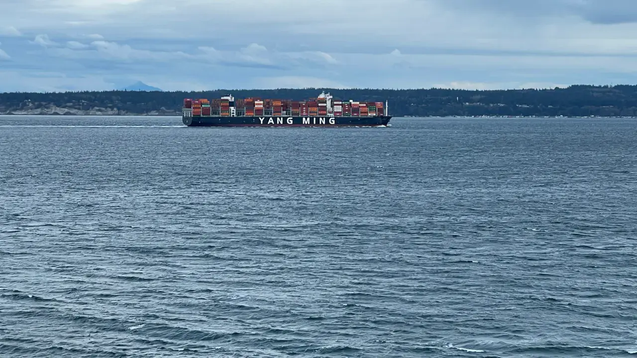
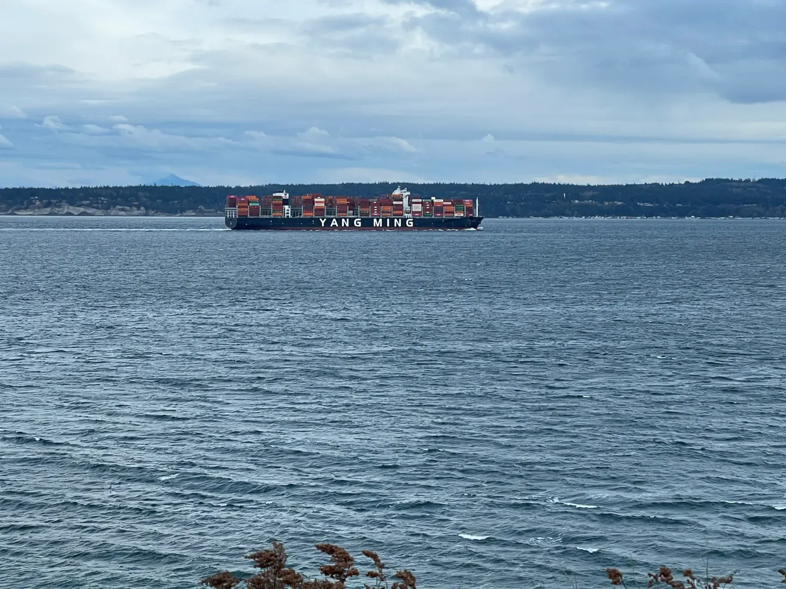
Also, be mindful of ocean traffic. Frighters and tug boats navigate just off the point of the light house.
Something out of date? Suggest an edit
Live
Point Wilson6.9 kmsource noaa
Readings reserved for Premium members
Readings from Point Wilson weather station are reserved for Premium members.
- Real-time readings
- Last 48 hours history
- Custom alerts
- Extended weather forecasts
Already a Premium member? Log in
Additional stations
-
Readings reserved for Premium members
source noaa
-
KG6OPD-13 Nordland4.9 km
Readings reserved for Premium members
source noaa
All the details of your session on windtracker.app
Webcams near Fort Flagler / Marrowstone Island
Webcams provided by Windy.com
Nearby spots
All spots: Washington- 5 km East Beach / Marrowstone IslandWashington, United States
- 7 km Keystone / Whidbey IslandWashington, United States
- 8 km North Beach ParkWashington, United States
- 9 km Oak Bay / Indian IslandWashington, United States
- 10 km Ebeys Landing / Whidbey IslandWashington, United States
- 15 km Penn Cove / Whidbey IslandWashington, United States
Comments 0
No comments yet.