
The site has just been updated: reload the page to get everything working again.
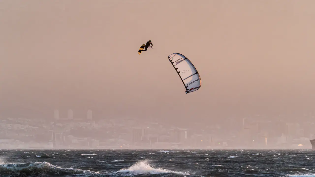
S-Turns / Hatteras kitesurf, wingfoil and windsurf spot
United States · Caroline du Nord
Overview
S-Turns is a soundside spot in the northern part of Hatteras Island, named after the characteristic S-curves of NC Highway 12 in this section. The road winds between the dunes and Pamlico Sound, and several access points lead to the water. The spot offers classic Pamlico Sound conditions — flat and shallow water. It's an intermediate spot as access can be more complicated and the area is isolated, within Pea Island National Wildlife Refuge.
Spot forecast for S-Turns / Hatteras
Sunrise 07:12 · Sunset 18:20
Forecasts provided by Open-Meteo
S-Turns / Hatteras: when to go?
Rideable days and hours computed for a minimum wind of 7 knots · log in to set your own (foil, twin-tip…)
390h
in March · 31 rideable days
The spot works year-round: 30 rideable days a month on average, at 18 °C. It peaks in March, with 390 hours of usable wind.
Rideable days per month
Wind strength when it is rideable
When the spot works, wind sits mostly between 7 and 12 knots — 47% of rideable hours. Big-kite territory. The coldest month is January, at 9 °C. The wettest month is March, with 209 mm.
Monthly averages: S-Turns / Hatteras
| Month | Rideable days | Usable wind | Temperature | Rain |
|---|---|---|---|---|
| January | 29.5 | 319 h | 9 °C | 52 mm |
| February | 27.5 | 313 h | 9 °C | 53 mm |
| March | 31.0 | 390 h | 13 °C | 209 mm |
| April | 30.0 | 394 h | 16 °C | 54 mm |
| May | 30.0 | 396 h | 20 °C | 112 mm |
| June | 29.5 | 371 h | 25 °C | 57 mm |
| July | 28.5 | 373 h | 27 °C | 80 mm |
| August | 30.0 | 366 h | 26 °C | 206 mm |
| September | 28.0 | 347 h | 23 °C | 51 mm |
| October | 30.5 | 365 h | 20 °C | 76 mm |
| November | 29.0 | 313 h | 17 °C | 73 mm |
| December | 30.0 | 309 h | 11 °C | 85 mm |
Photo gallery of S-Turns / Hatteras
Ridden here? One photo or video, and the spot comes alive for everyone discovering it.
Technical details of S-Turns / Hatteras spot
The spot works with winds from N, NNE, NE, ENE, E, ESE, SE, SSE, S, SSW, SW, WSW, W, WNW, NW, NNW.
Spot opening date · Required level
- Spot opening date
- Open all year round
- Required level
- Intermediate
On the water
Flat water on Pamlico Sound. Shallow depth. Sandy bottom with seagrass. The spot is open and offers plenty of space on the sound. Consistent and predictable conditions. Very uncrowded area offering a wild riding experience.
Hazards
Proximity to NC Highway 12 with S-curves — watch for traffic, reduced visibility for drivers. Stingrays present. Jellyfish in summer. Oyster shells — water shoes recommended. Isolated area within Pea Island NWR — ride with a buddy. Afternoon thunderstorms possible in summer. Route 12 is regularly flooded in this section during storms.
Something out of date? Suggest an edit
Live
EW7670 Rodanthe1.8 kmsource noaa
Readings reserved for Premium members
Readings from EW7670 Rodanthe weather station are reserved for Premium members.
- Real-time readings
- Last 48 hours history
- Custom alerts
- Extended weather forecasts
Already a Premium member? Log in
Additional stations
-
AMD Weather5.6 km
Readings reserved for Premium members
source weathercloud
-
Oregon Inlet, NC (192)25.3 km
Readings reserved for Premium members
source NOAA Buoy
All the details of your session on windtracker.app
Webcams near S-Turns / Hatteras
Webcams provided by Windy.com
Nearby spots
All spots: Caroline du Nord- 2 km Banzai LandingNorth Carolina, United States
- 2 km Rodanthe Oceanside / HatterasNorth Carolina, United States
- 3 km Rodanthe Soundside / HatterasNorth Carolina, United States
- 4 km Kitty Hawk Kites - Waves VillageNorth Carolina, United States
- 5 km barton s hattera'sNorth Carolina, United States
- 6 km Waves Oceanside / HatterasNorth Carolina, United States
Comments 0
No comments yet.