Canada · British Columbia
49.28 | -123.22
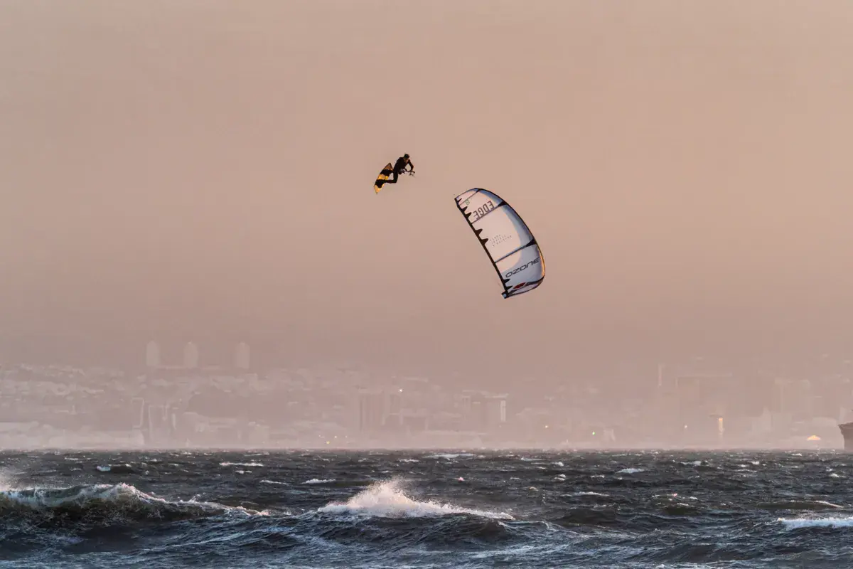
Spanish Banks is a long sandy beach on Vancouver's west side, on the south shore of English Bay facing the North Shore mountains. It's one of the few Vancouver spots where kitesurfing is tolerated, under certain conditions. The beach stretches for several kilometres with vast sand flats at low tide — similar to Boundary Bay, you need high tide to ride. Stunning views of the mountains and Lions Gate Bridge.
Rideable days and hours computed for a minimum wind of 7 knots · log in to set your own (foil, twin-tip…)
The season runs from April to June, peaking in April: 11 rideable days a month and 89 hours of usable wind, at 16 °C. The low point is December, at 3 days.
7-12 knots · 95% 13-20 knots · 5% 21-30 knots · under 1%
When the spot works, wind sits mostly between 7 and 12 knots — 95% of rideable hours. Big-kite territory. The coldest month is January, at 6 °C. The wettest month is December, with 219 mm. Bar height is the month's rideable days; the split shows how its wind hours break down by strength.
| Month | Rideable days | Usable wind | Temperature | Rain |
|---|---|---|---|---|
| January | 3.5 | 16 h | 6 °C | 150 mm |
| February | 5.5 | 29 h | 7 °C | 101 mm |
| March | 5.0 | 26 h | 9 °C | 101 mm |
| April | 13.0 | 89 h | 13 °C | 41 mm |
| May | 9.5 | 69 h | 17 °C | 66 mm |
| June | 9.0 | 75 h | 19 °C | 29 mm |
| July | 6.0 | 46 h | 23 °C | 10 mm |
| August | 6.5 | 45 h | 23 °C | 50 mm |
| September | 6.5 | 38 h | 20 °C | 57 mm |
| October | 4.0 | 24 h | 13 °C | 200 mm |
| November | 4.5 | 25 h | 9 °C | 169 mm |
| December | 3.0 | 15 h | 8 °C | 219 mm |
Ridden here? One photo or video, and the spot comes alive for everyone discovering it.
Open all year round
Intermediate
Shallow water over sand flats at high tide. Sandy bottom. Moderate chop in W/NW winds. Water is cold (mix of Fraser River freshwater and Pacific) — 4/3 wetsuit in summer, 5/4 in winter. At low tide, the beach extends hundreds of metres and water is inaccessible.
Kitesurfing is subject to municipal restrictions — check current regulations before riding. Shared area with swimmers, kayakers, and walkers in summer. Highly tide-dependent: flats dry out quickly on dropping tide. Marine traffic (cargo ships, ferries) in English Bay. Airport proximity (YVR approach path).
If you notice any outdated information:
Suggest an editLive data from POINT ATKINSON weather station (wind, gusts, history) is reserved for Premium members.
Already a Premium member? Log in
Loading webcams...

Comments 0
Login to commentNo comments yet.